
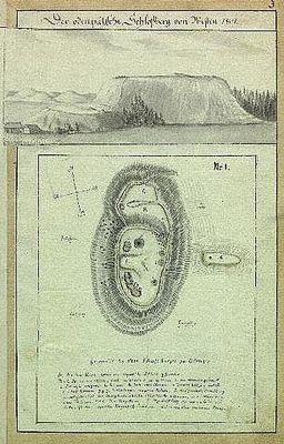
Otepää hill fort, قلعة في إستونيا
Location: Otepää Rural Municipality
GPS coordinates: 58.05745,26.50414
Latest update: March 6, 2025 20:11
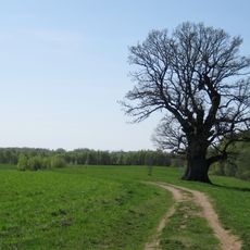
Tamme-Lauri oak
16.2 km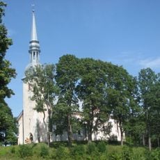
Otepää Church
263 m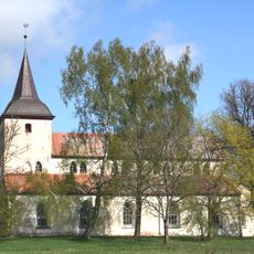
Urvaste Church
16.5 km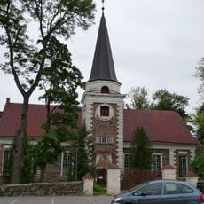
Kanepi Church
17 km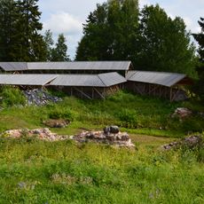
Otepää Castle
10 m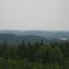
Otepää Nature Park
4.3 km
Pühajärv War Oak
3 km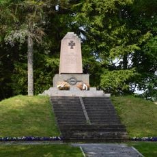
Monument to the War of Independence in Otepää
303 m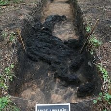
Aakre Kivivare
16 km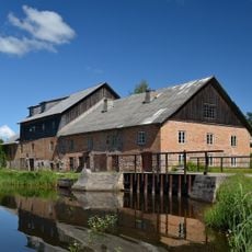
Hellenurme Mill Museum
11.2 km
Hellenurme watermill
11.2 km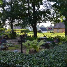
Kanepi-Mäe Cemetery
17.3 km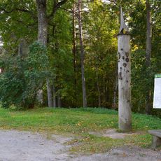
Otepää energiasammas
750 m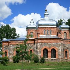
Ilmjärve Orthodox Church
12.5 km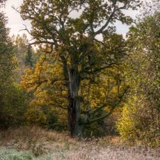
Mäe-Lehtsoo tamm
15.6 km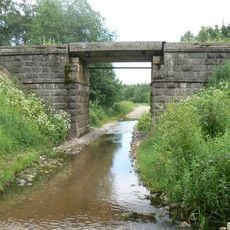
Pulga oja raudteesild
17.1 km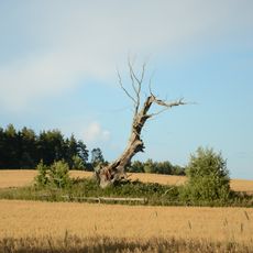
Karste hiietamm
10 km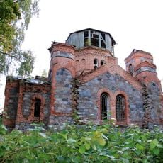
Kastolatsi orthodox church
3.6 km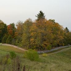
Otepää Cemetery
1 km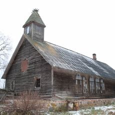
Krüüdneri abikirik
13.3 km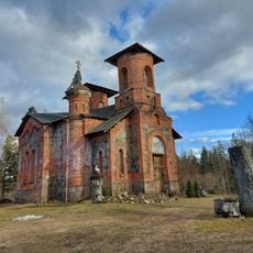
Maaritsa Orthodox Church
15 km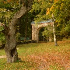
Otepää Old Cemetery
768 m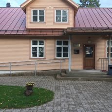
Nõuni Library
7.7 km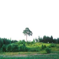
Jaanimäe mänd
9.5 km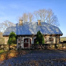
Otepää Winter Church
484 m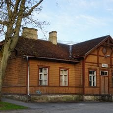
Station building of Puka railway station
15.6 km
Otepää pastor's house
424 m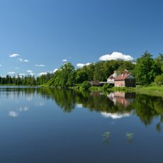
Lake Hellenurme
11 kmVisited this place? Tap the stars to rate it and share your experience / photos with the community! Try now! You can cancel it anytime.
Discover hidden gems everywhere you go!
From secret cafés to breathtaking viewpoints, skip the crowded tourist spots and find places that match your style. Our app makes it easy with voice search, smart filtering, route optimization, and insider tips from travelers worldwide. Download now for the complete mobile experience.

A unique approach to discovering new places❞
— Le Figaro
All the places worth exploring❞
— France Info
A tailor-made excursion in just a few clicks❞
— 20 Minutes