Chest opened
+${chestReward.xp} XP
Explorer
NOUVEAU ×${chestReward.collectible.quantity}
tapez pour fermer
Chest locked

Open chests in the app

Around Us is built for your phone — chests unlock when you walk, explore and capture nearby places.

Enable Location

We need your location to show you interesting places around you

Discover nearby places

Find interesting locations and hidden gems around you

Precise directions

Get accurate directions and distances to places

Your location is never shared with other users. It's only used when you tap the location button.

Órgiva

Log in to your account

Start exploring — it's free

Trusted by 72,877 travelers worldwide

Continue with Google
Continue with Apple
or

We will send you a code to connect

By continuing, you accept our Terms and Conditions and our Privacy Policy

Check your inbox

We've sent a pincode in your inbox. Please enter the code below.

Discussion Reviews 2 Photos
26.1k Popularity

Órgiva, Municipality in Alpujarra Granadina, Spain

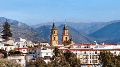
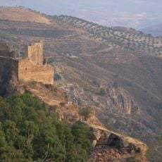
Órgiva is a municipality located at about 450 meters in elevation within a valley positioned between the Sierra Nevada and Sierra de Lújar mountains. Agricultural lands and streams shape the landscape surrounding the town and its structure.

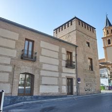
After Granada fell to the Catholic Monarchs in 1492, this municipality was initially assigned to King Boabdil before being transferred to Don Gonzalo Fernández de Córdoba. This change reflected the political reorganization of the region following the conquest.

The Thursday market brings together local farmers, artisans, and residents who exchange goods and maintain trading practices passed down through generations. This gathering shapes the town's social rhythm and shows how the community stays connected.

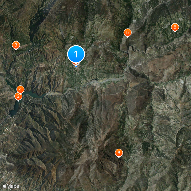
Four main roads connect the town to Granada, the Costa del Sol, and other parts of the Alpujarra region with regular bus services available. Checking routes ahead helps visitors plan their travel between destinations efficiently.

The area is home to alternative communities such as Beneficio, where residents practice sustainable living and maintain shared agricultural projects. These settlements represent experimental approaches to communal life in the rural region.

The community of curious travelers

AroundUs brings together thousands of curated places, local tips, and hidden gems, enriched daily by 60,000 contributors worldwide.

Start exploring
Capital city
Órgiva
Elevation above the sea
450 m
Part of
distrito notarial de Órgiva, Mancomunidad de Municipios de la Alpujarra Granadina, Alpujarra Granadina
Shares border with
Lanjarón, Cáñar, Carataunas, Pampaneira, La Taha, Torvizcón, Polopos, Rubite, Lújar, Vélez de Benaudalla, El Pinar
GPS coordinates
36.90028,-3.42389
Latest update
December 20, 2025 15:34
Reviews
Share your experience

No review yet

Discussions
Start a discussion...

No discussion yet

« Órgiva - Municipality in Alpujarra Granadina, Spain » is provided by Around Us (aroundus.com). Images and texts are derived from Wikimedia project under a Creative Commons license. You are allowed to copy, distribute, and modify copies of this page, under the conditions set by the license, as long as this note is clearly visible.

Discover hidden gems everywhere you go!

From secret cafés to breathtaking viewpoints, skip the crowded tourist spots and find places that match your style. Our app makes it easy with voice search, smart filtering, route optimization, and insider tips from travelers worldwide. Download now for the complete mobile experience.

Around Us App Screenshot

A unique approach to discovering new places

Le Figaro

All the places worth exploring

France Info

A tailor-made excursion in just a few clicks

20 Minutes

Around Us
Travel Guide & Maps
Download

Send to your phone

QR Code
1

Open the camera app on your mobile.

2

Point at the QR code with your camera. A notification will appear.

3

Tap the notification to open the link.