
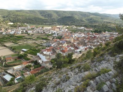
Quesa, municipality in Valencia, Spain
Location: Canal de Navarrés
Capital city: Quesa
Elevation above the sea: 200 m
Shares border with: Ayora, Bicorp, Bolbaite, Enguera, Millares, Navarrés, Tous
Website: http://quesa.es
GPS coordinates: 39.11961,-0.74027
Latest update: April 13, 2025 00:35
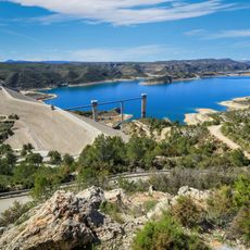
Tous Reservoir
8.5 km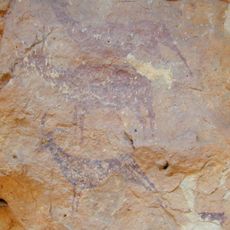
Cuevas de la Araña en Bicorp
10.7 km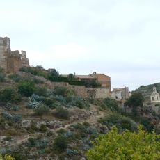
Bolbaite Castle
8.4 km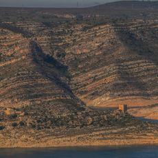
Castell de Tous
7.3 km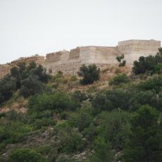
Castle of Navarrés
4.2 km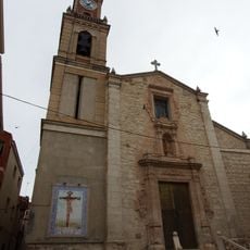
Church of the Assumption
4.6 km
Castillo palacio de Bicorp
4.3 km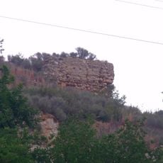
Castle of Quesa
258 m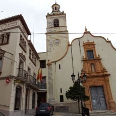
Iglesia de San Francisco de Paula, Bolbaite
8.5 km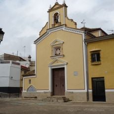
Ermita del Cristo de la Providencia
13.5 km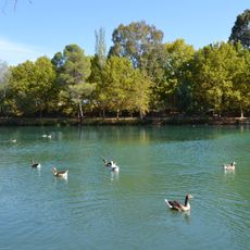
Albufera de Anna
14.2 km
Yacimiento Tambuc Este
7.6 km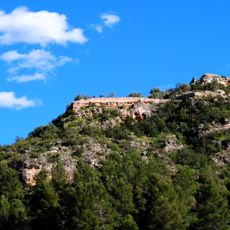
Castell de Sumacàrcer
10 km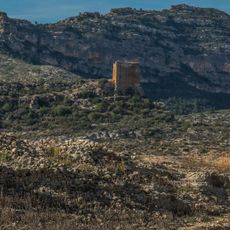
Torre de guaita de Tous
7.4 km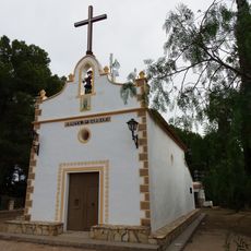
Chapel of Saint Barbara
7.9 km
Cueva de la Araña (Bicorp)
10.7 km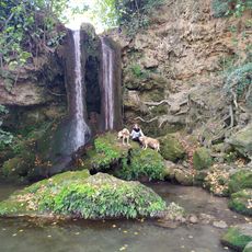
Merendero Chorradores. Fuente
2.7 km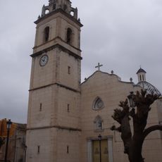
Church of Our Lady of Grace
10.7 km
Cuevas de la Araña, abrigo I
10.7 km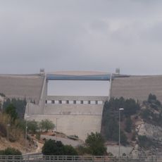
Tous Dam
7.9 km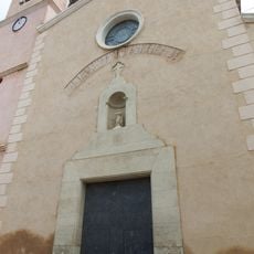
Church of Saint John the Evangelist
4.4 km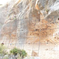
Cuevas de la Araña, abrigo III
10.7 km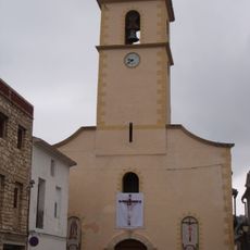
Church of Saint Anthony the Great
148 m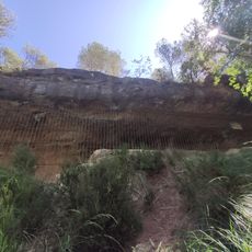
Abrigo de la Balsa de Calicanto
8.4 km
Cuevas de la Araña, abrigo II
10.7 km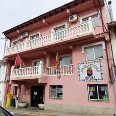
Agencia de Lectura Municipal de Quesa
80 m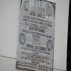
Retablo cerámico-lauda sepulcral, Chella
12 km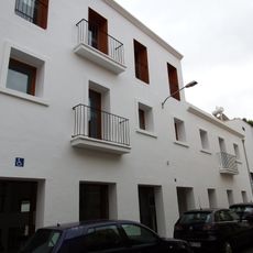
Agencia de Lectura Municipal de Bolbaite
8.6 kmReviews
Visited this place? Tap the stars to rate it and share your experience / photos with the community! Try now! You can cancel it anytime.
Discover hidden gems everywhere you go!
From secret cafés to breathtaking viewpoints, skip the crowded tourist spots and find places that match your style. Our app makes it easy with voice search, smart filtering, route optimization, and insider tips from travelers worldwide. Download now for the complete mobile experience.

A unique approach to discovering new places❞
— Le Figaro
All the places worth exploring❞
— France Info
A tailor-made excursion in just a few clicks❞
— 20 Minutes