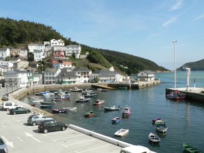
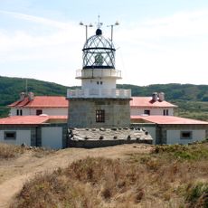
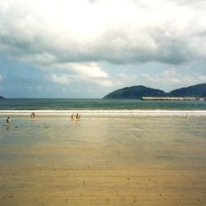
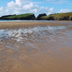
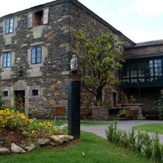
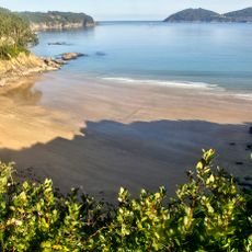
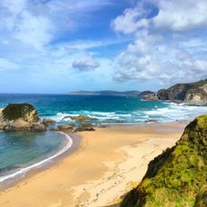
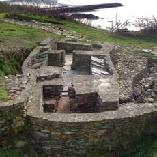
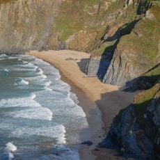
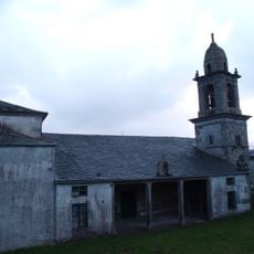
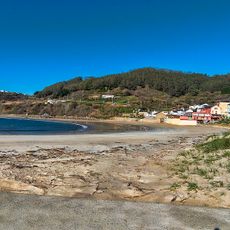
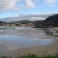
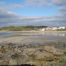
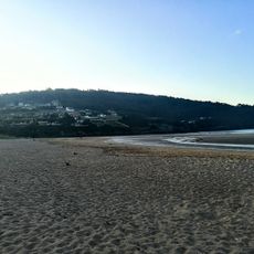
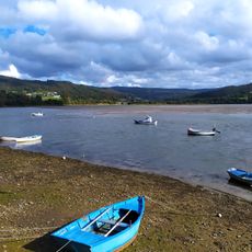
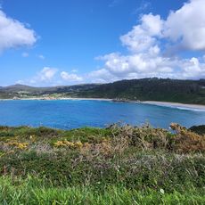
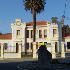
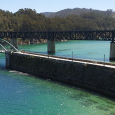
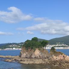
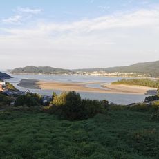
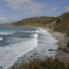
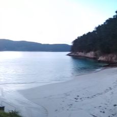
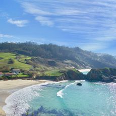
Mañón, municipality of Spain
Location: A Coruña Province
Elevation above the sea: 407 m
Part of: Ortegal
Shares border with: Ortigueira, As Pontes de García Rodríguez, Muras, Ourol, O Vicedo
Website: http://concellomanon.org/Manon/IdiomaServlet?idioma=ESP
GPS coordinates: 43.73611,-7.70556
Latest update: April 2, 2025 12:48
Faro de Estaca de Bares
5.8 km
Beach of Covas
10.9 km
Beach of Morouzos
11.9 km
Beach of Esteiro, Mañón
2.2 km
Pazo da Trave
13.6 km
Playa Sacido
9.8 km
Praia de San Román
6.7 km
Castro dos Prados
8.7 km
Beach of O Picón
3.2 km
Church of Santa María de Cabanas
12.1 km
Praia de Bares
4.4 km
Vidrieiro
2.5 km
San Antonio de Espasante
8 km
Playa de La Concha
8.5 km
Playa de A Abrela
8.5 km
Ladrido
10.4 km
Praia de San Antonio
8.6 km
Biblioteca Pública Municipal de Ortigueira - Juan Fernández Latorre
13 km
Praia da Ponte
653 m
Seiramar
10.2 km
Chamadoiro
676 m
Praia de Arealonga
1.4 km
San Román
6.7 km
Eirón
7.5 km
Abrela
8.4 km
Praia Sarridal
5.7 km
Praia do Vicedo Vello
2.6 km
Bimbieiro
7.3 kmReviews
Visited this place? Tap the stars to rate it and share your experience / photos with the community! Try now! You can cancel it anytime.
Discover hidden gems everywhere you go!
From secret cafés to breathtaking viewpoints, skip the crowded tourist spots and find places that match your style. Our app makes it easy with voice search, smart filtering, route optimization, and insider tips from travelers worldwide. Download now for the complete mobile experience.
A unique approach to discovering new places❞
— Le Figaro
All the places worth exploring❞
— France Info
A tailor-made excursion in just a few clicks❞
— 20 Minutes