
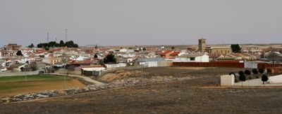
Villatobas, municipality of Spain
Location: Toledo Province
Capital city: Villatobas
Elevation above the sea: 723 m
Shares border with: La Guardia, Dosbarrios, Ocaña, Noblejas, Villarrubia de Santiago, Santa Cruz de la Zarza, Corral de Almaguer
Website: https://villatobas.es
GPS coordinates: 39.90111,-3.32139
Latest update: March 4, 2025 06:33
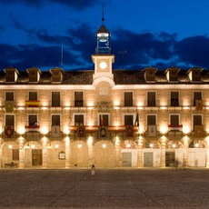
Plaza Mayor de Ocaña
16.2 km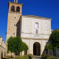
Convent of Saint Dominic
16.2 km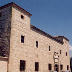
Palacio de los Cárdenas, Ocaña
16.2 km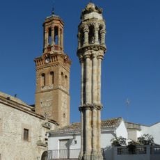
Pillory of Ocaña
16.2 km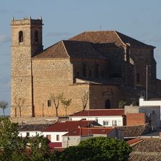
Church of Santiago Apóstol, Santa Cruz de la Zarza
14.8 km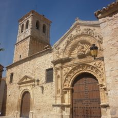
Church of Nuestra Señora de la Asunción
20.7 km
Convent of Saint Catherine of Siena
16.2 km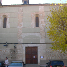
Convent of Saint Clare
16.2 km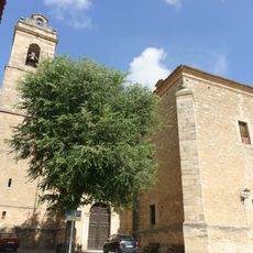
Iglesia de San Miguel Arcángel
14.4 km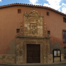
Casa de los Jaenes
18.3 km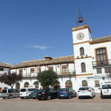
Casa consistorial de Santa Cruz de la Zarza
14.8 km
Silo of Ocaña
16.1 km
Casa de los Collados CASA DE LOS TRADACETE
20.7 km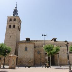
Iglesia de San Martín Obispo, Lillo
19.9 km
Biblioteca Pública Municipal de Villatobas
152 m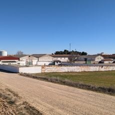
Plaza de toros de Villatobas
754 m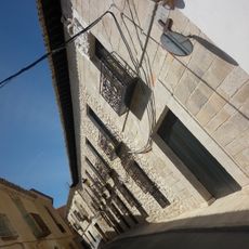
Casa de los Collado
20.7 km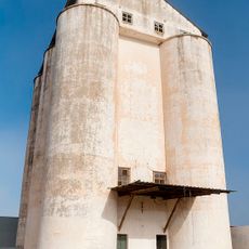
Silo of Corral de Almaguer II
20.9 km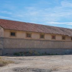
Granary of Dosbarrios
13.2 km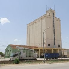
Silo de Lillo
20 km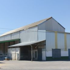
Silo of Santa Cruz de la Zarza
14.8 km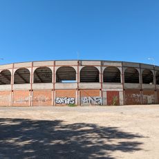
Plaza de toros de Ocaña
15.3 km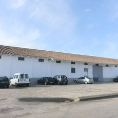
Granary of Santa Cruz de la Zarza
14 km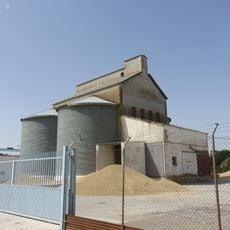
Silo de La Guardia
18.6 km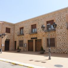
Biblioteca Pública Municipal de Lillo
19.7 km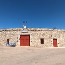
Plaza de toros de Villarrubia de Santiago
10.6 km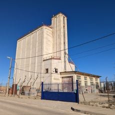
Silo de Villatobas
752 m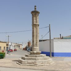
Rollo de Lillo
20.2 kmReviews
Visited this place? Tap the stars to rate it and share your experience / photos with the community! Try now! You can cancel it anytime.
Discover hidden gems everywhere you go!
From secret cafés to breathtaking viewpoints, skip the crowded tourist spots and find places that match your style. Our app makes it easy with voice search, smart filtering, route optimization, and insider tips from travelers worldwide. Download now for the complete mobile experience.

A unique approach to discovering new places❞
— Le Figaro
All the places worth exploring❞
— France Info
A tailor-made excursion in just a few clicks❞
— 20 Minutes