Buitrago del Lozoya, Municipal administrative center in Madrid Community, Spain.
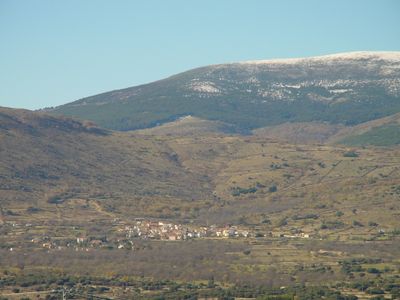
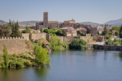
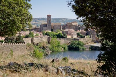
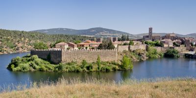
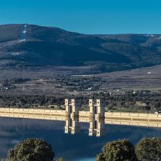
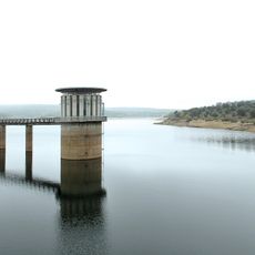
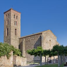
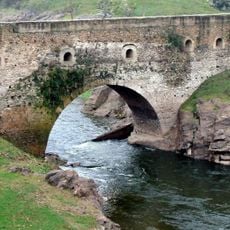
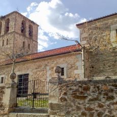
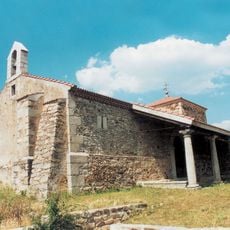
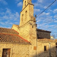
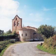
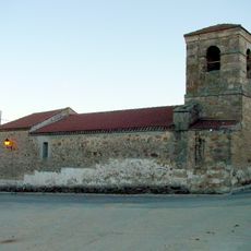
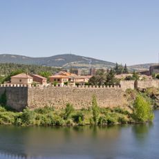
Buitrago del Lozoya is a small municipality in the Madrid Community located on a peninsula formed by a bend in the Lozoya River. The town sits in the northern mountains above Madrid and functions as the local administrative hub for surrounding villages and residential areas.
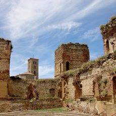
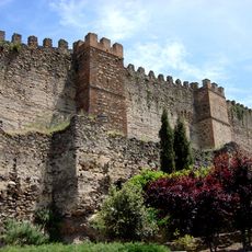
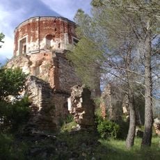
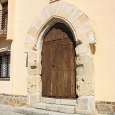
The town originated as a medieval settlement established for its advantageous location beside the river. Over centuries, it remained an important local administration point for the surrounding rural region.
The municipality coordinates various educational programs through its public library and Municipal Music and Dance School, serving residents of all ages throughout the year.
The town is accessible by bus from Madrid, making it easy for visitors and commuters to reach. The best time to explore is during warmer months when the surrounding mountains and river landscape are pleasant to walk through.
Municipal officials maintain direct communication with citizens through 'Díselo a tu alcalde' program, enabling immediate response to community needs and concerns.
The community of curious travelers
AroundUs brings together thousands of curated places, local tips, and hidden gems, enriched daily by 60,000 contributors worldwide.