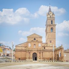
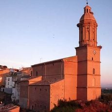
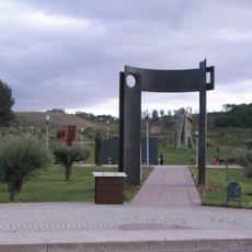
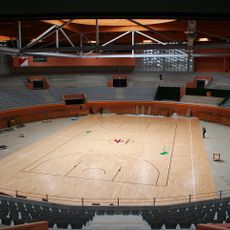
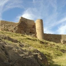
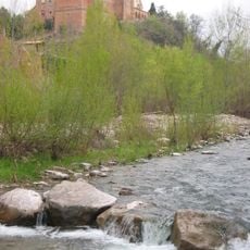
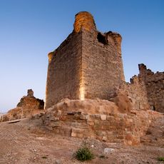
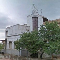
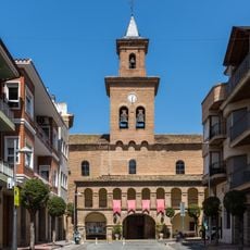
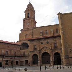
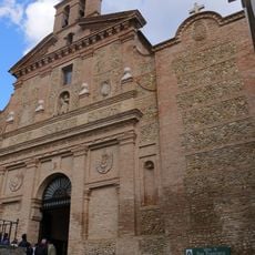
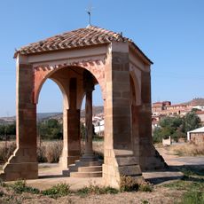
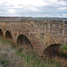
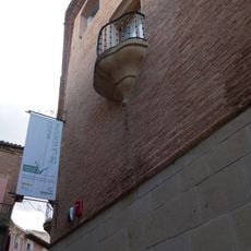
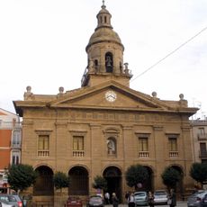
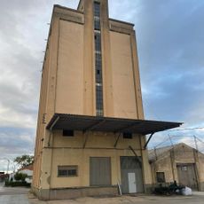
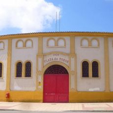
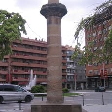
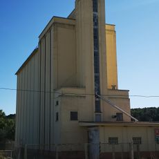
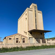
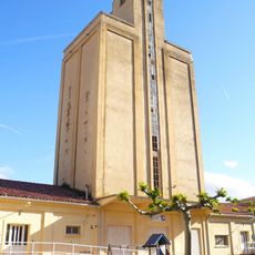
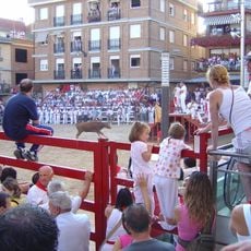
Sartaguda, municipality of Spain
Location: Navarre
Capital city: Sartaguda
Elevation above the sea: 336 m
Website: https://sartaguda.net/
Part of: Mancomunitat de Montejurra, Mancomunidad de Servicios Sociales de Lazagurría, Lodosa, Mendavia, Sartaguda y Sesma
Shares border with: Cárcar, Andosilla, Lodosa, Calahorra, Pradejón
Website: https://sartaguda.net
GPS coordinates: 42.38139,-2.05861
Latest update: March 4, 2025 21:59
Cathedral of Santa María of Calahorra
12.4 km
San Julián and Santa Basilisa Church
9.6 km
The Caves of Hundered Pillars
17.6 km
Parque de la Memoria of Sartaguda
932 m
Arnedo Arena
18.2 km
Castle of Arnedo
17.3 km
Monasterio de Nuestra Señora de Vico
17.6 km
Castle of Quel
17.1 km
Museo de la Romanización
12 km
Chalé de los Sevilla
17.8 km
Callaghan
17.9 km
Ancient roman villa of Las Musas
19.1 km
San Salbatore eliza
15.8 km
Tower of Sartaguda
1.2 km
Iglesia de Nuestra Señora de la Asunción, Lerín
13.3 km
Church of San Francisco
12.2 km
Crucero de Corera
13.6 km
Roman aqueduct of Calahorra
6 km
Museum of vegetables
12.2 km
Church of Santiago
12 km
Silo of Mendavia
14.6 km
Bullring of Calahorra
11.1 km
Rollo de Calahorra
11.6 km
Silo of Lerín
13.9 km
Silo of Sesma
10.5 km
Biblioteca Pública de Lodosa - Ángel Martínez Baigorri
4.8 km
Silo of Andosilla
9 km
Plaza de toros de Mendavia
13.7 kmReviews
Visited this place? Tap the stars to rate it and share your experience / photos with the community! Try now! You can cancel it anytime.
Discover hidden gems everywhere you go!
From secret cafés to breathtaking viewpoints, skip the crowded tourist spots and find places that match your style. Our app makes it easy with voice search, smart filtering, route optimization, and insider tips from travelers worldwide. Download now for the complete mobile experience.
A unique approach to discovering new places❞
— Le Figaro
All the places worth exploring❞
— France Info
A tailor-made excursion in just a few clicks❞
— 20 Minutes