Castellsapera, Mountain summit in Serra de l'Obac, Spain
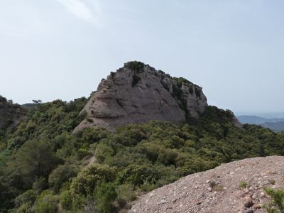
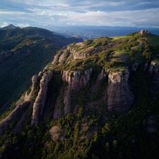
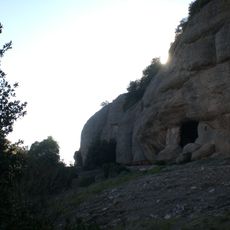
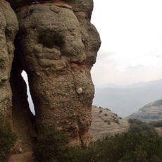
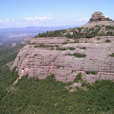
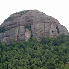
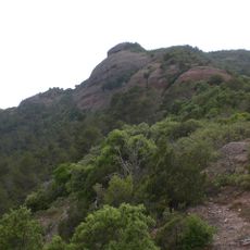
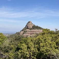
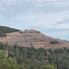
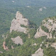
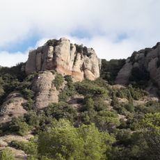
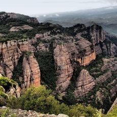
Castellsapera is a summit within the Serra de l'Obac mountain range, rising to about 940 meters between the municipalities of Vacarisses and Terrassa. The height displays limestone formations and is crossed by several marked hiking trails that connect the area to other nearby peaks and passages.
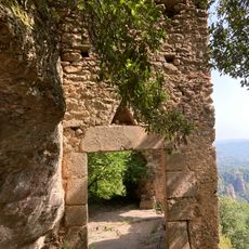
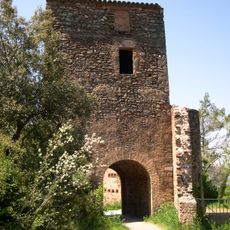
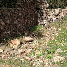
The region has been used since ancient times as a connection between settlements, and the paths around Castellsapera developed gradually through trade and human movement. These historic routes shaped the cultural landscape and linked Catalonia across centuries.
The summit connects to various walking routes used by both locals and visitors, shaping how people experience the surrounding hills and valleys. These paths reflect how the region has been crossed by people over time.
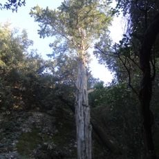
The summit is best reached on foot, with several starting points from nearby villages that all lead to well-marked paths. It is advisable to start early and bring plenty of water, especially on warm days, as there is little shelter along the way.
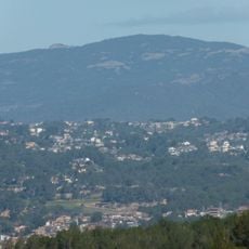
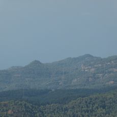
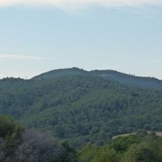
On clear days, the summit offers views of different mountain ranges - the Sant Llorenç del Munt park lies in one direction while Montserrat is visible in another. This wide view lets visitors grasp the geographic connections of the entire region at once.
The community of curious travelers
AroundUs brings together thousands of curated places, local tips, and hidden gems, enriched daily by 60,000 contributors worldwide.