Gambela Region, Administrative region in southwestern Ethiopia
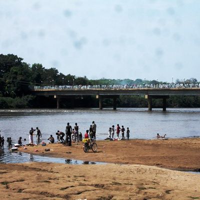
Gambela Region is an administrative division in southwestern Ethiopia consisting of lowland plains and wetland areas with a warm tropical climate. The landscape here differs notably from Ethiopia's highland zones found elsewhere.
The region underwent administrative restructuring between 2004 and 2005 that reorganized its internal divisions under federal government authority. This transformation changed how the area was governed and managed.
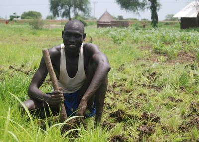
Multiple ethnic communities live here, each with their own languages and ways of life that shape the local rhythm and character of towns and villages. You can observe these differences in daily interactions and in how different groups organize their settlements.
Roads are developing but can become difficult during rainy seasons, so plan journeys carefully and check local conditions beforehand. Medical facilities are limited, so travelers should be well-prepared and bring any necessary medications.
The region has become a major settlement area for people fleeing South Sudan, which shapes daily life and community interactions in unexpected ways. This ongoing situation influences how towns develop and how services are organized.
The community of curious travelers
AroundUs brings together thousands of curated places, local tips, and hidden gems, enriched daily by 60,000 contributors worldwide.