
Öörni soldier's torp, house in Raahe, Finland
Location: Raahe
Inception: 1720
Elevation above the sea: 12 m
GPS coordinates: 64.66523,24.47330
Latest update: March 28, 2025 06:17
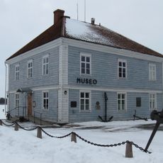
Raahe Museum
2.5 km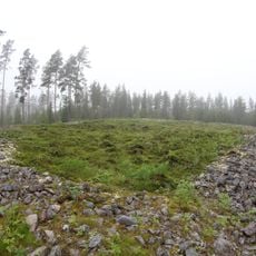
Kastelli Giant's Church
12 km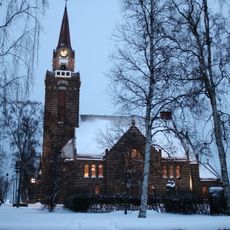
Raahe Church
2.7 km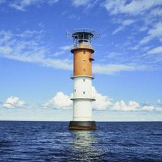
Nahkiainen
28.1 km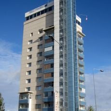
Raahen Tornitalo
2 km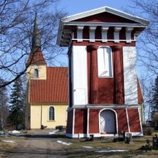
Saloinen Church
2 km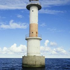
Raahe lighthouse
12 km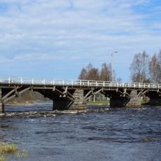
Etelänkylä Bridge
25.6 km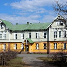
Raahe seminar
3.2 km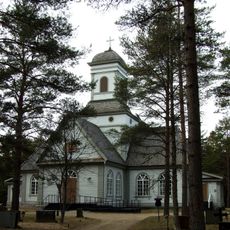
Siikajoki Church
22.8 km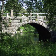
Pattijoki Bridge
5.6 km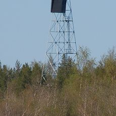
Tauvo lighthouse
16.9 km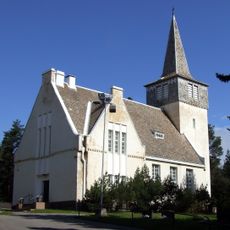
Pattijoki church
5.5 km
Kettukankaan muinaisjäännösalue
12 km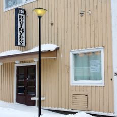
Bio Huvimylly
2.5 km
Kummatti
1.1 km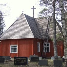
Revonlahti Church
24 km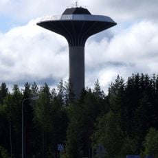
Pattijoki Water Tower
5.1 km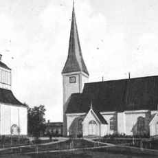
Raahe Old Church
2.7 km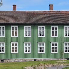
Sovelius Mansion
2.5 km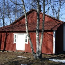
Olkijoki peace building
9.6 km
Kettukankaan jätinkirkko
12 km
Pikku Jakenaron jätinkirkko
12.4 km
Mairie de Raahe
2 km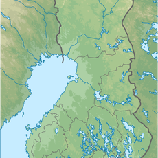
Ulkonokanhietikko
20.5 km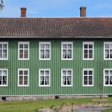
Sovelius house
2.5 km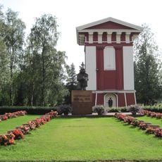
Saloinen bell tower
2 km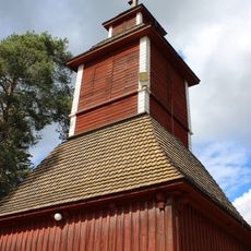
Belfry in Revonlahti Church
24 kmReviews
Visited this place? Tap the stars to rate it and share your experience / photos with the community! Try now! You can cancel it anytime.
Discover hidden gems everywhere you go!
From secret cafés to breathtaking viewpoints, skip the crowded tourist spots and find places that match your style. Our app makes it easy with voice search, smart filtering, route optimization, and insider tips from travelers worldwide. Download now for the complete mobile experience.

A unique approach to discovering new places❞
— Le Figaro
All the places worth exploring❞
— France Info
A tailor-made excursion in just a few clicks❞
— 20 Minutes