
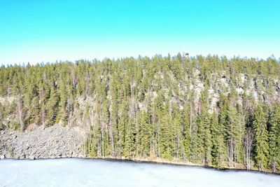
Pirulanvuori, hill in Sastamala, Finland
Location: Sastamala
Elevation above the sea: 122.5 m
GPS coordinates: 61.57451,22.66232
Latest update: March 4, 2025 07:15

St. Olaf's Church in Tyrvää
28.7 km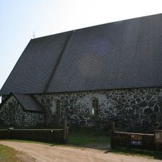
Sastamala Church
28 km
Sääksjärvi
24.4 km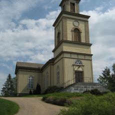
Suodenniemi Church
6.5 km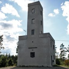
Mannanmäki observation tower
28.9 km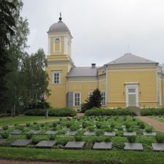
Kankaanpää Church
28.5 km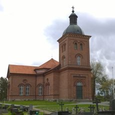
Mouhijärvi Church
19.6 km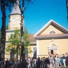
Lavia Church
4.1 km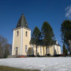
Hämeenkyrö church
28.9 km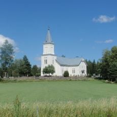
Kauvatsa Church
27.8 km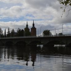
Vammaskosken silta
28.6 km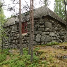
Emil Danielssonin erämaa-ateljee
28.2 km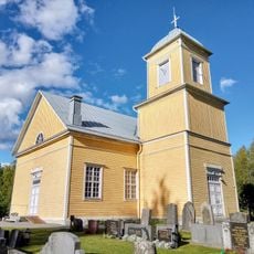
Lassila Church
23.1 km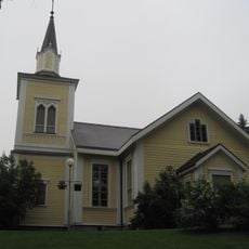
Jämijärvi Church
27.3 km
Kiikoinen Church
14.2 km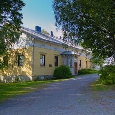
Kulttuuritalo Jaatsi
28.1 km
Suodenniemi Local Museum
6.4 km
Jämijärven työväentalo
27.6 km
The old cemetery chapel
28.8 km
Lavian kotiseutumuseo
4.1 km
Riihikivi
5.1 km
Hanhikivi (bato sa Finlandia, Satakunta, Pori, lat 61,43, long 22,51)
18.2 km
Battle of Sampakoski Memorial
13.4 km
Tyrvään vanhan kirkon maisema
28.6 km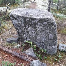
Pakkokivi
9.1 km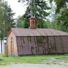
Station master's root cellar in Vammala Railway Station
27.8 km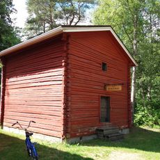
Jämijärven kotiseutumuseo
27 km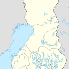
Kirkkokivi (bato sa Finlandia, Pirkanmaa, Lounais-Pirkanmaa, lat 61,47, long 23,06)
23.8 kmVisited this place? Tap the stars to rate it and share your experience / photos with the community! Try now! You can cancel it anytime.
Discover hidden gems everywhere you go!
From secret cafés to breathtaking viewpoints, skip the crowded tourist spots and find places that match your style. Our app makes it easy with voice search, smart filtering, route optimization, and insider tips from travelers worldwide. Download now for the complete mobile experience.

A unique approach to discovering new places❞
— Le Figaro
All the places worth exploring❞
— France Info
A tailor-made excursion in just a few clicks❞
— 20 Minutes