
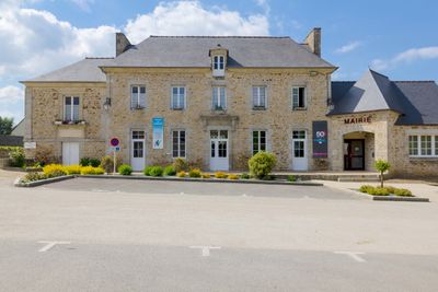
Calorguen, commune in Côtes-d'Armor, France
Location: canton of Dinan-Ouest
Location: Côtes-d'Armor
Location: Dinan Communauté
Location: Dinan agglomération
Location: arrondissement of Dinan
Elevation above the sea: 43 m
Shares border with: Les Champs-Géraux, Évran, Lanvallay, Saint-André-des-Eaux, Saint-Carné, Saint-Juvat, Trévron
Phone: +33296835803
Email: mairie.calorguen@wanadoo.fr
GPS coordinates: 48.41028,-2.02889
Latest update: June 2, 2025 14:10
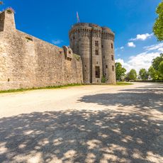
Château de Dinan
4.6 km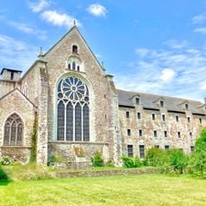
Abbatiale Saint-Magloire de Léhon
3.6 km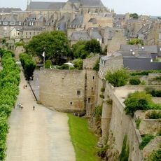
City walls of Dinan
4.8 km
Château de Beaumanoir
4.7 km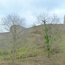
Chateau Léhon
3.6 km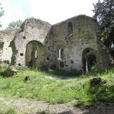
Ancienne église de Saint-André-des-Eaux
4.5 km
Croix Macquerel
4.4 km
Manoir de la Ferronnays
1.7 km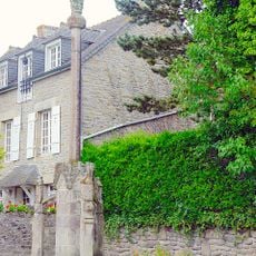
Calvaire du Saint-Esprit
4.5 km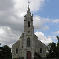
Église Saint-André de Saint-André-des-Eaux
4.6 km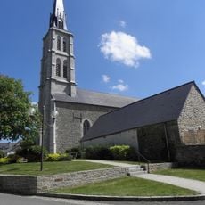
Église Saint-Laurent de Trévron
3.5 km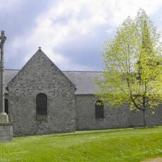
Église Saint-Hubert de Calorguen
66 m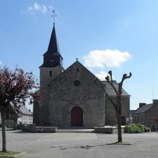
Église Saint-Pierre de Saint-Carné
2.8 km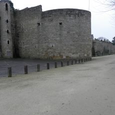
Tour du Connétable
4.8 km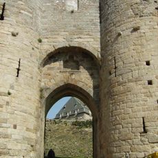
Porte du Guichet
4.6 km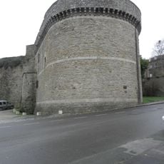
Tour de Coëtquen
4.5 km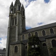
Église Saint-Pierre-Saint-Paul d'Évran
4.7 km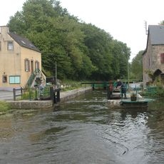
Écluse de Boutron
1.4 km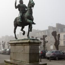
Equestrian statue of Bertrand du Guesclin
4.8 km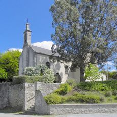
Église Saint-Barthélémy du Hinglé
4.5 km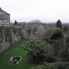
Tour de Penthièvre
4.6 km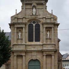
Chapelle Sainte-Catherine de Dinan
4.8 km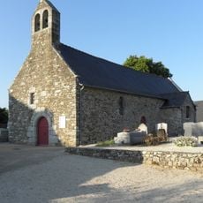
Église de Tressaint
2.3 km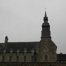
Ancien couvent des Bénédictines (Dinan)
4.7 km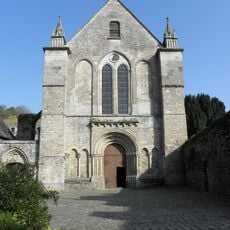
Église abbatiale Saint-Magloire de Léhon
3.6 km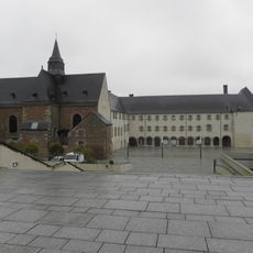
Ancien couvent des Dominicaines
4.8 km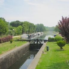
Écluse n° 42
4.6 km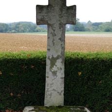
Croix de la Mettrie
5.4 kmVisited this place? Tap the stars to rate it and share your experience / photos with the community! Try now! You can cancel it anytime.
Discover hidden gems everywhere you go!
From secret cafés to breathtaking viewpoints, skip the crowded tourist spots and find places that match your style. Our app makes it easy with voice search, smart filtering, route optimization, and insider tips from travelers worldwide. Download now for the complete mobile experience.

A unique approach to discovering new places❞
— Le Figaro
All the places worth exploring❞
— France Info
A tailor-made excursion in just a few clicks❞
— 20 Minutes