Ouessant, Island commune in Finistère, France.
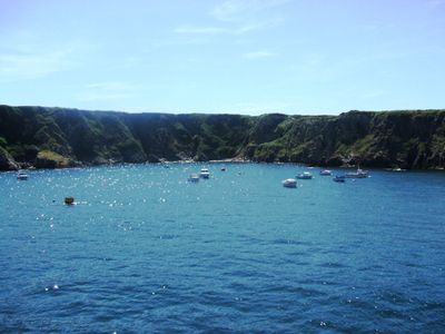
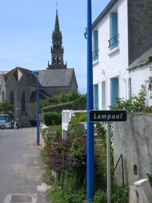
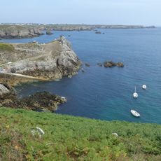
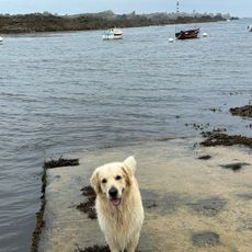
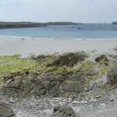
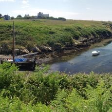
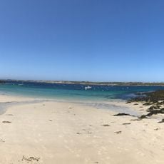
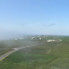
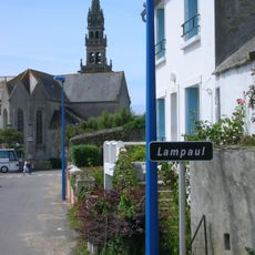
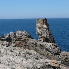
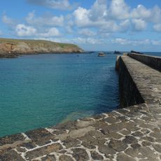
Ouessant sits off the western coast of Brittany in the Atlantic and stretches across a granite plateau with gentle hills and coastal cliffs. The island shows open heathland, narrow lanes between low stone walls, and several small hamlets clustered around the main village of Lampaul.
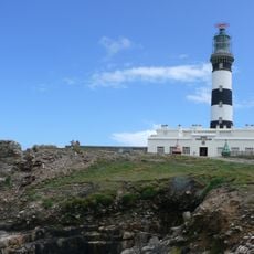
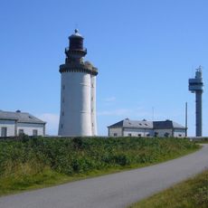
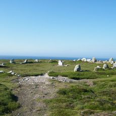
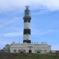
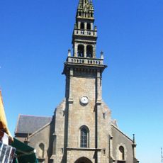
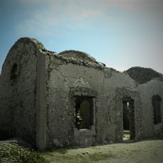
Stone circles and menhirs testify to early settlement in prehistoric times when farmers and fishermen established themselves here. During the Middle Ages the location became strategically important for navigation, leading to the later construction of lighthouses to secure trade routes.
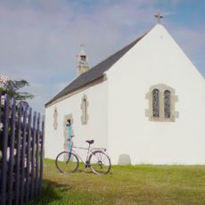
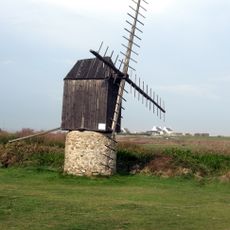
The name comes from Breton Enez Eusa, reflecting its exposed Atlantic position and shaping the seafaring culture of residents for generations. Today you still see small white houses with colorful shutters that stand up to the wind and reflect the traditional building style of the island.
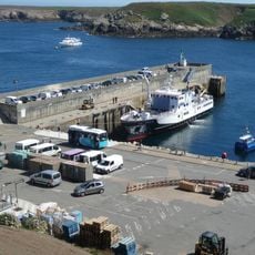
You reach the island by ferry from the mainland or by plane, though weather can affect connections and flexibility in planning is advisable. Once there, walking or cycling works best since cars play little role on the island.
The island's pastures are still home to small black Ouessant sheep, one of the world's smallest sheep breeds that have been raised here for centuries. Their thick fleece protects them from the harsh Atlantic climate and they can survive on poor soil.
The community of curious travelers
AroundUs brings together thousands of curated places, local tips, and hidden gems, enriched daily by 60,000 contributors worldwide.