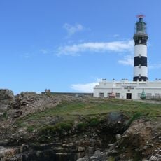
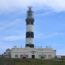
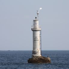
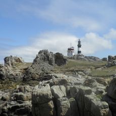
Stiff lighthouse, Historical lighthouse in Ouessant, France
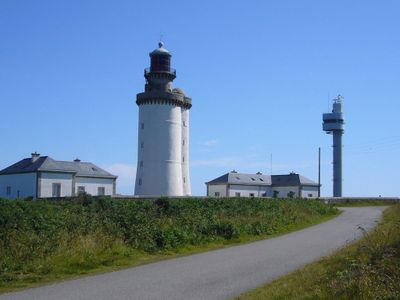
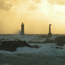
Stiff lighthouse is a stone structure on Ouessant island consisting of two connected towers rising approximately 32 meters. The building stands on elevated ground about 92 meters above sea level and overlooks the surrounding waters.
The renowned French military engineer Vauban designed and oversaw construction of this navigation aid in 1699 as part of a new coastal defense system. The project marked the beginning of organized protection for the Breton coast.
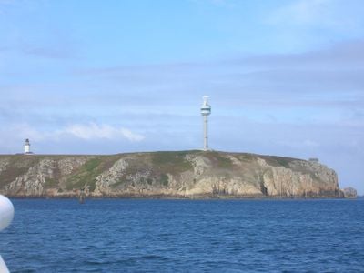
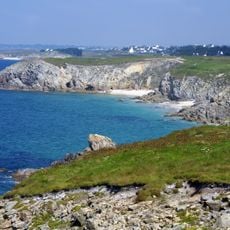
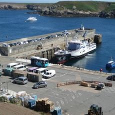
The lighthouse has shaped the island's identity for centuries and remains a defining landmark of Breton maritime tradition. Visitors recognize its distinctive outline immediately when approaching Ouessant.
The light sends two red flashes every 20 seconds and remains a reliable landmark for ships in the waters around the island. Visitors should prepare for changeable weather and bring sturdy footwear and protective clothing.
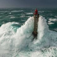
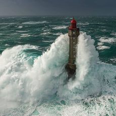
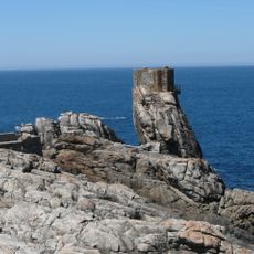
The structure used open fires for signaling until 1820, before switching to modern lighting. This long period of operation with original methods makes it a living testament to maritime technology across several eras.
The community of curious travelers
AroundUs brings together thousands of curated places, local tips, and hidden gems, enriched daily by 60,000 contributors worldwide.