
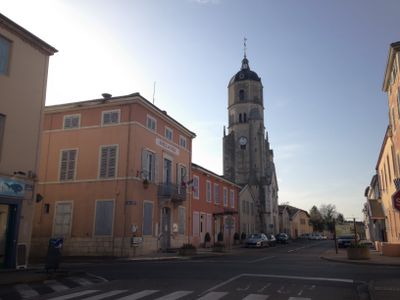
Bâgé-le-Châtel, commune in Ain, France
Location: Ain
Location: communauté de communes du pays de Bâgé et de Pont-de-Vaux
Location: arrondissement of Bourg-en-Bresse
Elevation above the sea: 202 m
Shares border with: Saint-André-de-Bâgé, Bâgé-Dommartin
Phone: +33385363829
Email: mairie@bage-le-chatel.fr
Website: https://bagelechatel.fr
GPS coordinates: 46.30778,4.92944
Latest update: June 1, 2025 10:42
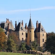
Château de Montépin
1.6 km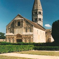
Église Saint-André de Saint-André-de-Bâgé
726 m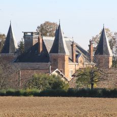
Château de la Griffonnière
928 m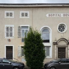
Hôpital-hospice de Bâgé-le-Châtel
79 m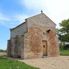
Chapelle d'Aigrefeuille
1.5 km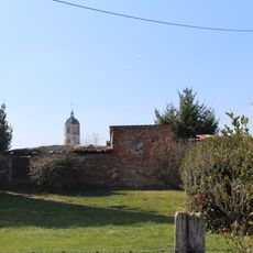
Enceinte de Bâgé-le-Châtel
139 m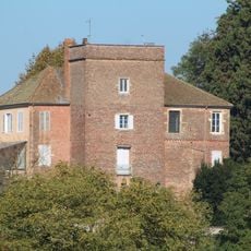
Château des sires de Bâgé
194 m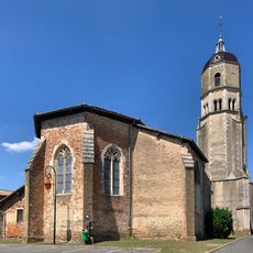
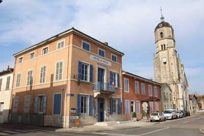
Église Notre-Dame de l'Assomption de Bâgé-le-Châtel
90 m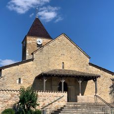
Église Saint-Martin de Replonges
3.3 km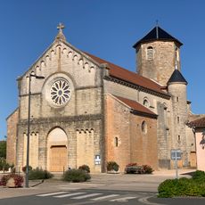
Église Saint-Michel de Bâgé-la-Ville
1.6 km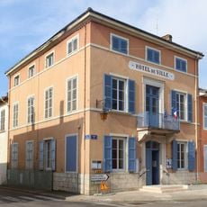
Mairie de Bâgé-le-Châtel
41 m
Golf de la Commanderie
3.3 km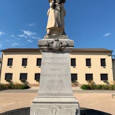
War memorial of Bâgé-la-Ville
1.5 km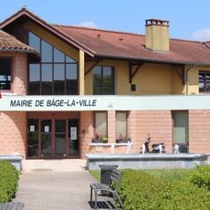
Town hall of Bâgé-la-Ville
1.7 km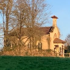
Chapelle du château de Montépin
1.5 km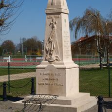
War memorial of Saint-André-de-Bâgé
1.7 km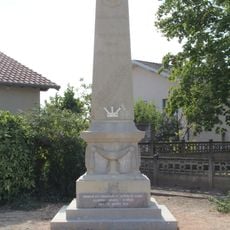
War memorial of Bâgé-le-Châtel
239 m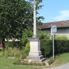
Croix de Montagnat
2.5 km
Croix de Belin
1.8 km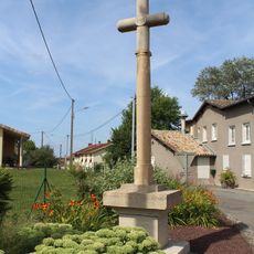
Croix du Mollard
3.3 km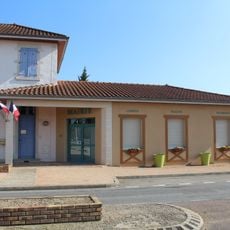
Town hall of Saint-André-de-Bâgé
1.8 km
Croix de la Place Puthod
207 m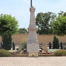
War memorial of Replonges
3.3 km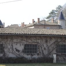
Château de l'Aumusse
2.9 km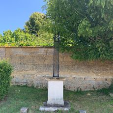
Croix de la Route de Replonges
292 m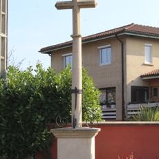
Croix de Mons
1.8 km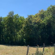
Bois de Naiman
3.4 km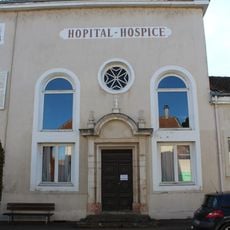
Chapelle de l'hôpital-hospice de Bâgé-le-Châtel
85 mReviews
Visited this place? Tap the stars to rate it and share your experience / photos with the community! Try now! You can cancel it anytime.
Discover hidden gems everywhere you go!
From secret cafés to breathtaking viewpoints, skip the crowded tourist spots and find places that match your style. Our app makes it easy with voice search, smart filtering, route optimization, and insider tips from travelers worldwide. Download now for the complete mobile experience.

A unique approach to discovering new places❞
— Le Figaro
All the places worth exploring❞
— France Info
A tailor-made excursion in just a few clicks❞
— 20 Minutes