Enable Location

We need your location to show you interesting places around you

Discover nearby places

Find interesting locations and hidden gems around you

Precise directions

Get accurate directions and distances to places

Your location is never shared with other users. It's only used when you tap the location button.

Hauteville-Lompnes

Log in to your account

Start exploring — it's free

Trusted by 62,992 travelers worldwide

Continue with Google
Continue with Apple
or

We will send you a code to connect

By continuing, you accept our Terms and Conditions and our Privacy Policy

Check your inbox

We've sent a pincode in your inbox. Please enter the code below.

Hauteville-Lompnes
Discussion Reviews 1 Photos
18.8k Popularity

Hauteville-Lompnes, Administrative division in Plateau d'Hauteville, France

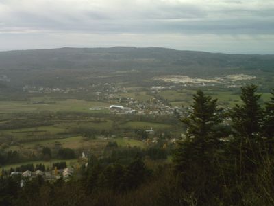
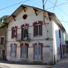
Hauteville-Lompnes is an administrative commune on the Plateau d'Hauteville in eastern France's Ain department. The territory covers varied terrain with rolling hills and higher elevations across its landscape.

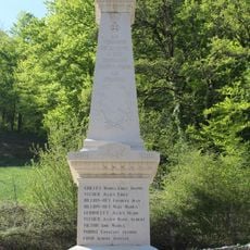
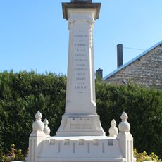
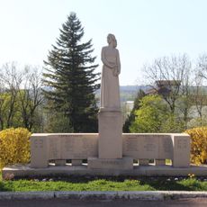
The commune was created in 1942 from the merger of Hauteville and Lompnes. It grew further when additional settlements joined in the following decades.

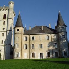
The castle d'Angeville shapes the local landscape and recalls Henriette d'Angeville, a pioneering mountaineer from this area. The family living there has maintained ties to the region for generations.

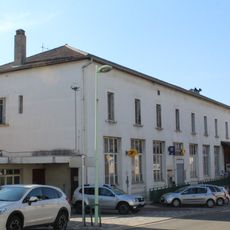
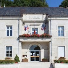
The town hall handles local administration and infrastructure for the community. The area is easy to explore on foot, with local services and amenities available in the village center.

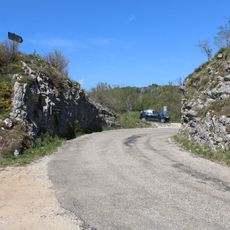
Marble quarries from this region supplied stone for major buildings and structures worldwide. This trade deeply shaped the local economy and settlement patterns over time.

The community of curious travelers

AroundUs brings together thousands of curated places, local tips, and hidden gems, enriched daily by 60,000 contributors worldwide.

Start exploring
Location
Ain
Inception
August 1, 1942
Elevation above the sea
864 m
Shares border with
Aranc, Chaley, Champdor, Cormaranche-en-Bugey, Évosges, Hostiaz, Lompnieu, Ruffieu, Tenay, Thézillieu, Champdor-Corcelles
GPS coordinates
45.97889,5.59944
Latest update
December 7, 2025 10:08
Reviews
Share your experience

No review yet

Discussions
Start a discussion...

No discussion yet

« Hauteville-Lompnes - Administrative division in Plateau d'Hauteville, France » is provided by Around Us (aroundus.com). Images and texts are derived from Wikimedia project under a Creative Commons license. You are allowed to copy, distribute, and modify copies of this page, under the conditions set by the license, as long as this note is clearly visible.

Discover hidden gems everywhere you go!

From secret cafés to breathtaking viewpoints, skip the crowded tourist spots and find places that match your style. Our app makes it easy with voice search, smart filtering, route optimization, and insider tips from travelers worldwide. Download now for the complete mobile experience.

Around Us App Screenshot

A unique approach to discovering new places

Le Figaro

All the places worth exploring

France Info

A tailor-made excursion in just a few clicks

20 Minutes

Around Us
Travel Guide & Maps
Download

Send to your phone

QR Code
1

Open the camera app on your mobile.

2

Point at the QR code with your camera. A notification will appear.

3

Tap the notification to open the link.