Enable Location

We need your location to show you interesting places around you

Discover nearby places

Find interesting locations and hidden gems around you

Precise directions

Get accurate directions and distances to places

Your location is never shared with other users. It's only used when you tap the location button.

Plateau d'Hauteville

Log in to your account

Start exploring — it's free

Trusted by 61,993 travelers worldwide

Continue with Google
Continue with Apple
or

We will send you a code to connect

By continuing, you accept our Terms and Conditions and our Privacy Policy

Check your inbox

We've sent a pincode in your inbox. Please enter the code below.

Plateau d'Hauteville

Plateau d'Hauteville, municipality in France

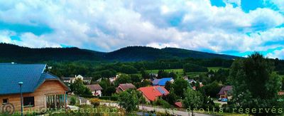
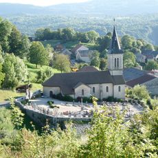
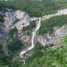
Plateau d'Hauteville is a small municipality in the Ain department of the Auvergne-Rhône-Alpes region, formed by merging several villages in 2019. The area spreads across gentle hills with fields, forests, and small clusters of houses, crisscrossed by streams like the Albarine and situated at an average elevation of about 800 meters (2,600 feet).

The region was established as a separate administrative territory in 1801 and underwent several boundary changes over time. The current form of Plateau d'Hauteville emerged in 2019 when four municipalities merged, creating a unified administrative entity and strengthening the local community.

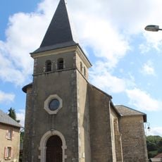
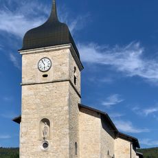
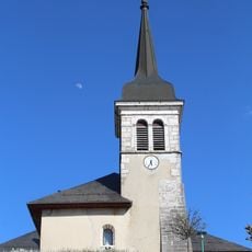
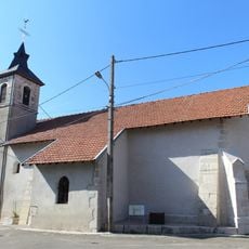
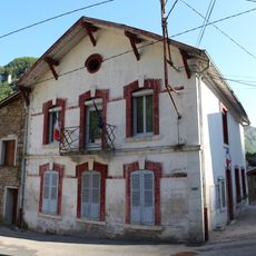
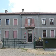
The name Plateau d'Hauteville comes from the central town that anchors the region and preserves traditional ways. Walking through the area, you encounter residents with deep roots here and local markets filled with fresh products like cheese, seasonal fruits, and artisanal bread.

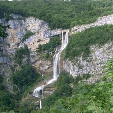
Walking paths in this area are usually well-marked and easy to navigate, with several shelters and restaurants serving regional food along the way. The mild climate with moderate summers makes walking comfortable during most of the year.

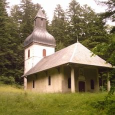
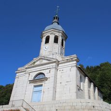
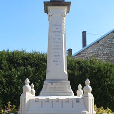
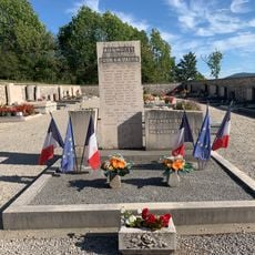
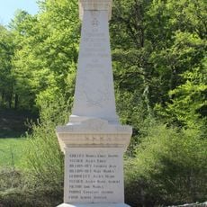
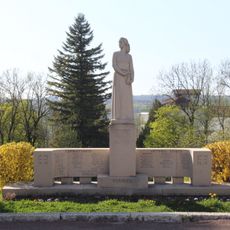
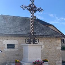
One of the most striking sites is the former Abbey of Saint-Sulpice, protected as a historic monument and revealing deep historical roots in the area. Additionally, the region sits within 30 kilometers of a UNESCO World Heritage site featuring prehistoric pile dwelling settlements around the Alps, testament to very ancient human habitation in this place.

The community of curious travelers

AroundUs brings together thousands of curated places, local tips, and hidden gems, enriched daily by 60,000 contributors worldwide.

Start exploring
Location
Inception
January 1, 2019
Address
01110 Plateau d'Hauteville, France
GPS coordinates
45.93034,5.57738
Latest update
December 8, 2025 10:05
« Plateau d'Hauteville - municipality in France » is provided by Around Us (aroundus.com). Images and texts are derived from Wikimedia project under a Creative Commons license. You are allowed to copy, distribute, and modify copies of this page, under the conditions set by the license, as long as this note is clearly visible.

Discover hidden gems everywhere you go!

From secret cafés to breathtaking viewpoints, skip the crowded tourist spots and find places that match your style. Our app makes it easy with voice search, smart filtering, route optimization, and insider tips from travelers worldwide. Download now for the complete mobile experience.

Around Us App Screenshot

A unique approach to discovering new places

Le Figaro

All the places worth exploring

France Info

A tailor-made excursion in just a few clicks

20 Minutes

Around Us
Travel Guide & Maps
Download

Send to your phone

QR Code
1

Open the camera app on your mobile.

2

Point at the QR code with your camera. A notification will appear.

3

Tap the notification to open the link.