Cordes-sur-Ciel

Log in to your account

AroundUs is a community-driven map of interesting places, built by curious explorers like you. It grows with every review, story, and photo you share.
Connect to save your favorite spots, contribute locations, and create personalized routes.
Continue with Google
Continue with Apple
Continue with X
Continue with Facebook
Continue with email
By continuing, you accept our Terms and Conditions and our Privacy Policy
Create an account
Add to collection
Map
Suggest a change
Share

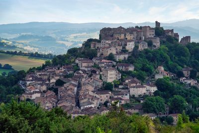
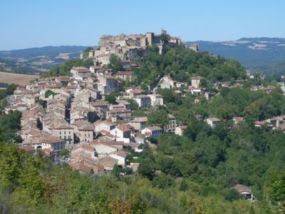
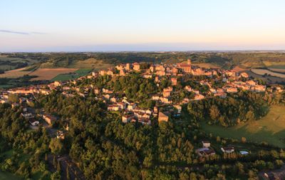
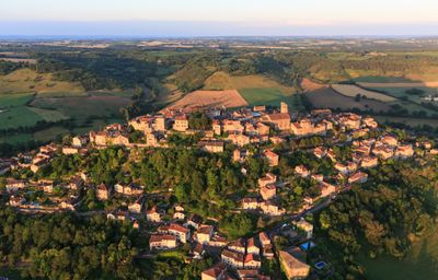
Cordes-sur-Ciel, Medieval administrative division in southern region of Tarn, France.

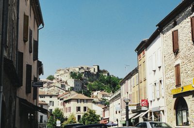
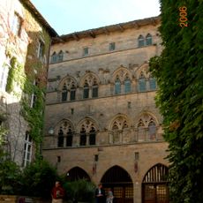
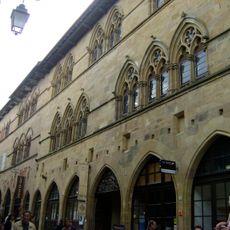
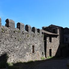
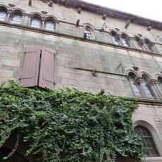
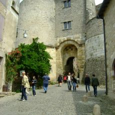
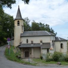
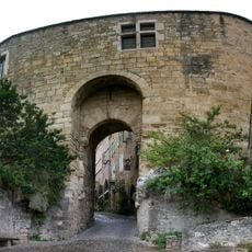
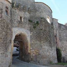
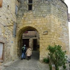
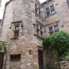
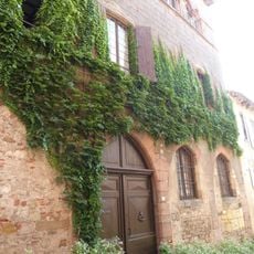
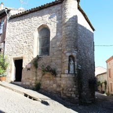
Cordes-sur-Ciel is a commune within the canton of Cordes-sur-Ciel, perched on a hilltop overlooking the Cérou valley in Tarn, southern France. The settlement spreads across several levels, with the highest tiers showing fortified quarters and preserved gateways, while the lower tiers display later developments from several centuries.

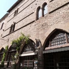
Count Raymond VII of Toulouse ordered the fortified settlement built in 1222 to shelter populations displaced during the Albigensian Crusade. In later medieval times it became a center for crafts such as weaving and tanning, before economic shifts gradually turned it into a quieter rural commune.

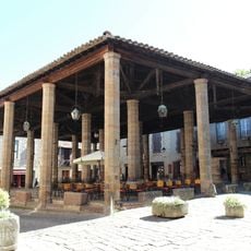
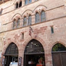
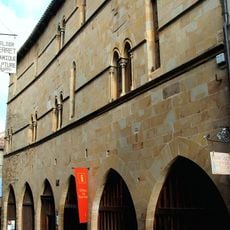
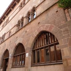
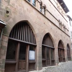
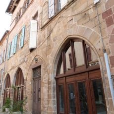
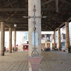
The upper streets retain their medieval names, recalling former craft guilds such as weaver quarters and tanner alleys. Local residents still use the main thoroughfare for weekly markets, especially on Sunday mornings when buyers and vendors gather together.

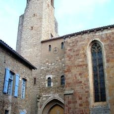
The climb passes through several gateways, each marking a new level of the settlement and offering shade on warm days. Visitors should bring sturdy footwear, as cobblestones are uneven and steep passages require effort on the ascent.

The administration changed the name from Cordes to Cordes-sur-Ciel in 1993 to emphasize its position high above the valley. On certain mornings, the site appears to float above layers of fog, giving the new name a visual truth.

Location: canton of Cordes-sur-Ciel

Location: Tarn

Location: arrondissement of Albi

Elevation above the sea: 215 m

Shares border with: Amarens, Bournazel, Les Cabannes, Livers-Cazelles, Mouzieys-Panens, Saint-Marcel-Campes, Souel

Address: 81170 Cordes-sur-Ciel, France

Phone: +33563560040

Email: mairie@cordessurciel.fr

Website: http://mairie.cordessurciel.fr

GPS coordinates: 44.06333,1.95278

Latest update: December 13, 2025 18:33

Photos
Reviews

Visited this place? Tap the stars to rate it and share your experience / photos with the community! Try now! You can cancel it anytime.

« Cordes-sur-Ciel - Medieval administrative division in southern region of Tarn, France » is provided by Around Us (aroundus.com). Images and texts are derived from Wikimedia project under a Creative Commons license. You are allowed to copy, distribute, and modify copies of this page, under the conditions set by the license, as long as this note is clearly visible.

Discover hidden gems everywhere you go!

From secret cafés to breathtaking viewpoints, skip the crowded tourist spots and find places that match your style. Our app makes it easy with voice search, smart filtering, route optimization, and insider tips from travelers worldwide. Download now for the complete mobile experience.

Around Us App Screenshot

A unique approach to discovering new places

Le Figaro

All the places worth exploring

France Info

A tailor-made excursion in just a few clicks

20 Minutes