
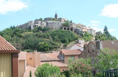
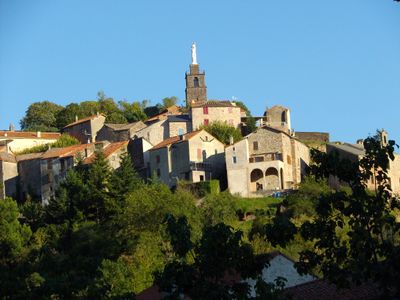
Camarès, commune in Aveyron, France
Location: canton of Camarès
Location: Aveyron
Location: arrondissement of Millau
Elevation above the sea: 490 m
Shares border with: Brusque, Fayet, Gissac, Montlaur, Peux-et-Couffouleux, Mounes-Prohencoux, Sylvanès
Phone: +33565981520
Email: contact@camares.fr
GPS coordinates: 43.82250,2.87944
Latest update: June 14, 2025 12:18
Abbaye de Sylvanès
6.6 km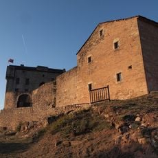
Château de Montaigut
7.1 km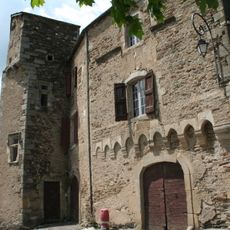
Château de Fayet
5.4 km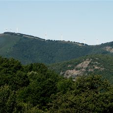
Merdelou
7.1 km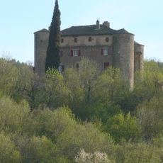
Château de Montalègre
9 km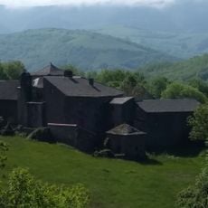
Château de Falgous
4 km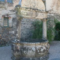
Puits renaissance
5.4 km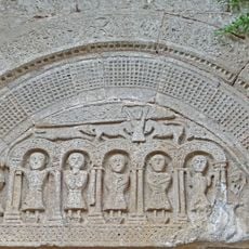
Église Saint-Caprais de Lapeyre
8.8 km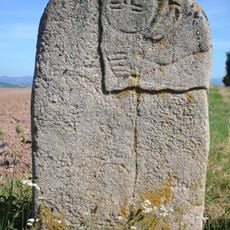
Statue-menhir du Plo de Mas-Viel
4.6 km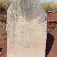
Statue menhir of Mas d'Azaïs
4.1 km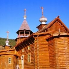
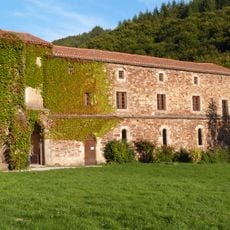
Prieuré des Granges
7.3 km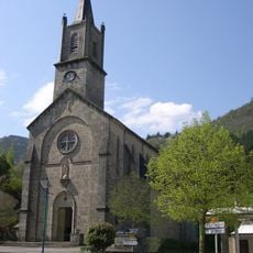
Église Saint-Martin de Brusque
8.3 km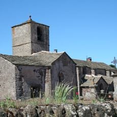
Église Saint-Pierre-d'Issis de Camarès
1.7 km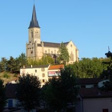
Église Saint-Michel de Camarès
148 m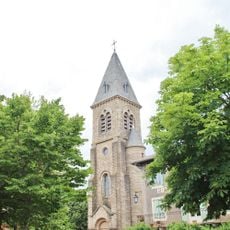
Église Saint-Martin de Montlaur
7.3 km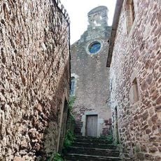
Ancienne église de Montlaur
7.2 km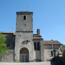
Église Saint-Pierre de Fondamente
8.2 km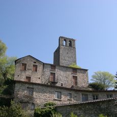
Église Saint-Jacques de Brusque
8.2 km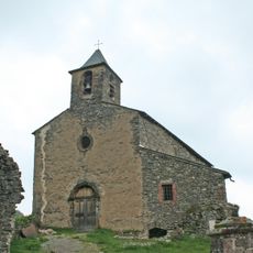
Église Saint-Jean de Blanc de Peux-et-Couffouleux
8.5 km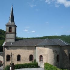
Église Saint-Pierre de Mounes
4.5 km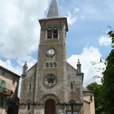
Église Saint-Laurent de Fayet
6 km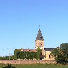
Église Saint-Jean-Baptiste de Gissac
5 km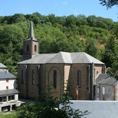
Église Saint-Nazaire de Couffouleux
5.7 km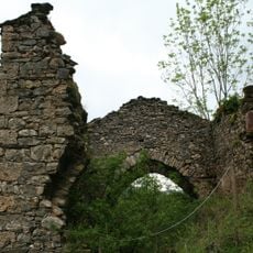
Chapelle castrale du château de Blanc
8.5 km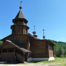
Église orthodoxe de Sylvanès
7.2 km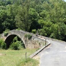
Pont Vieux de Lapeyre
8.9 km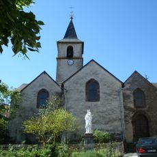
Église Sainte-Croix d'Ouyre
3.5 km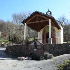
Chapelle de Saint-Meen de Peux-et-Couffouleux
7.5 kmReviews
Visited this place? Tap the stars to rate it and share your experience / photos with the community! Try now! You can cancel it anytime.
Discover hidden gems everywhere you go!
From secret cafés to breathtaking viewpoints, skip the crowded tourist spots and find places that match your style. Our app makes it easy with voice search, smart filtering, route optimization, and insider tips from travelers worldwide. Download now for the complete mobile experience.

A unique approach to discovering new places❞
— Le Figaro
All the places worth exploring❞
— France Info
A tailor-made excursion in just a few clicks❞
— 20 Minutes