Canal de la Vésubie, Historical water canal in Alpes-Maritimes, France
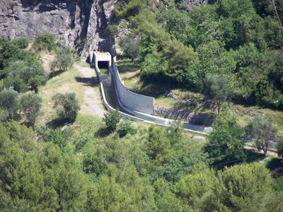
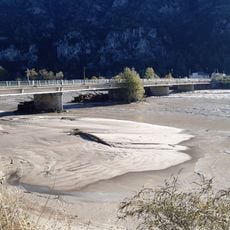
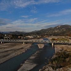
The Canal de la Vésubie is an engineering work that carries water from mountain valleys across terrain toward the coast through a combination of channels and passages. Its route includes both above-ground sections and underground stretches carved through rock to maintain a steady flow.
Work on the canal started when water shortages threatened city growth and continued for several decades as builders navigated challenging mountain terrain. Engineers developed techniques to tunnel through rock and maintain consistent water pressure across long distances.
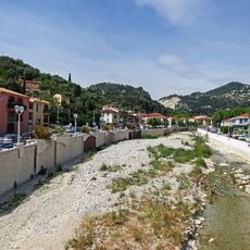
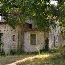
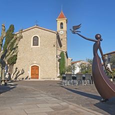
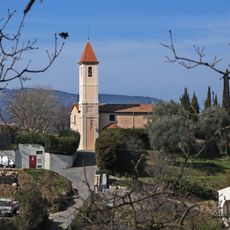
The waterway shaped how people in this region think about mountain resources, turning a wild river into a controlled system that serves distant communities. Walking along it, you see how communities once depended entirely on this flow for survival.
Parts of the canal can be explored on foot along designated paths, though some sections are difficult to reach or pass through. Early morning visits are recommended to avoid midday heat and to see the water flow most clearly.
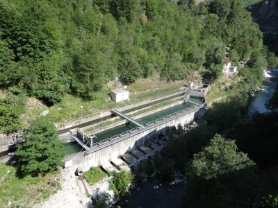
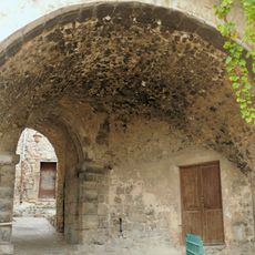
Several intake structures and locks along the route remain remarkably intact from their original construction, allowing visitors to see how water was controlled without modern machinery. These simple but ingenious devices still function as reminders of earlier engineering solutions.
Location: Saint-Blaise
Location: Utelle
Location: La Roquette-sur-Var
Address: Pont de Saint-Jean-la-Rivière
GPS coordinates: 43.81644,7.21756
Latest update: December 8, 2025 21:08
Castagniers Abbey
2 km
Banquière
10.9 km
Pont Charles-Albert
3.1 km
Abbaye de la Madone-des-Prés
4.3 km
Église Sainte-Rosalie de Tourrette-Levens
5.8 km
Église Saint-Antonin de Levens
4.9 kmCentre international d'art contemporain de Carros
3.6 km
Pont de la Manda
5.9 km
Ramparts in Levens
4.8 km
Église Notre-Dame des Selves de Carros
5.1 km
Église Saint-Claude de Carros
3.7 km
Église Saint-Michel de Castagniers
3.1 km
Église de l'Assomption
5.8 km
Église Saint-Pierre de La Roquette-sur-Var
2 km
Église Saint-Blaise de Saint-Blaise
1.8 km
Église Saint-Jacques d'Aspremont
4.2 km
Église Saint-Benoît de Bonson
5.7 km
Église de Saint-Martin-du-Var
2 km
Église Sainte-Anne du Plan-du-Var
4.8 km
Chapelle Saint-Honoré de Gilette
5.7 km
Église primitive de Carros-Village
3.7 km
Chapelle Saint-Antoine-de-Padoue du Passet
5.6 km
Chapelle Saint-Pancrace de Gilette
5.9 km
Chapelle Notre-Dame-de-la-Paix de Castagniers
2 km
Chapelle Notre-Dame-de-la-Miséricorde de Levens
4.8 km
Chapelle des Pénitents Blancs de Levens
4.8 km
Chapelle Saint-Joseph de Levens
2.5 km
Passage voûté de Levens
4.9 kmVisited this place? Tap the stars to rate it and share your experience / photos with the community! Try now! You can cancel it anytime.
Discover hidden gems everywhere you go!
From secret cafés to breathtaking viewpoints, skip the crowded tourist spots and find places that match your style. Our app makes it easy with voice search, smart filtering, route optimization, and insider tips from travelers worldwide. Download now for the complete mobile experience.
A unique approach to discovering new places❞
— Le Figaro
All the places worth exploring❞
— France Info
A tailor-made excursion in just a few clicks❞
— 20 Minutes