Enable Location

We need your location to show you interesting places around you

Discover nearby places

Find interesting locations and hidden gems around you

Precise directions

Get accurate directions and distances to places

Your location is never shared with other users. It's only used when you tap the location button.

Pontorson

Log in to your account

Start exploring — it's free

Trusted by 62,916 travelers worldwide

Continue with Google
Continue with Apple
or

We will send you a code to connect

By continuing, you accept our Terms and Conditions and our Privacy Policy

Check your inbox

We've sent a pincode in your inbox. Please enter the code below.

Discussion Reviews 1 Photos
13.3k Popularity

Pontorson, Commune in Manche department, Normandy, France.

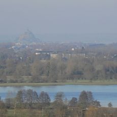
Pontorson is a French commune located in the Manche department of northwestern France, covering an area of 161.47 square kilometers with approximately 4,319 residents, positioned strategically about ten kilometers from the Mont-Saint-Michel abbey.

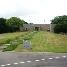
Founded in the 12th century following a vow by William the Conqueror, Pontorson once hosted a fortress demolished in 1623 under King Louis XIII's orders, and played a strategic role during World War II when American forces established airfield A-28 nearby.

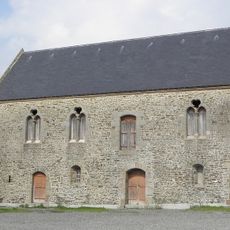
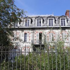
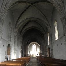
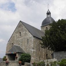
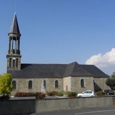
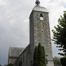
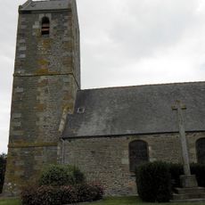
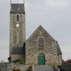
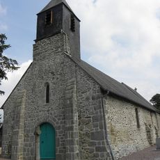
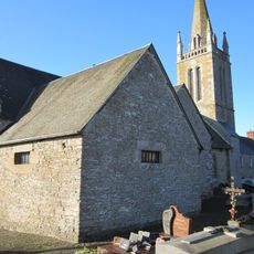
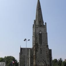
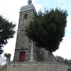
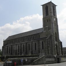
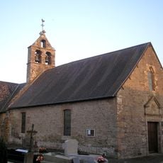
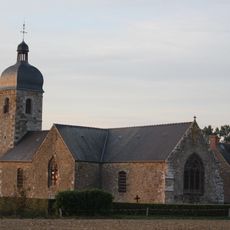
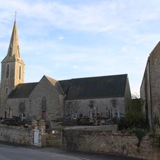
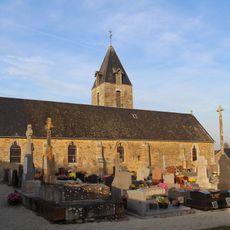
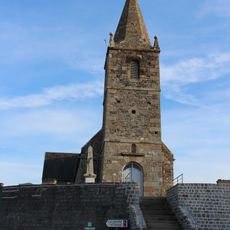
The cultural landscape features the Notre-Dame church from the 11th and 12th centuries showcasing Romanesque-Gothic architecture, the 16th-century Old Protestant Temple, and the Guischard de la Ménardière house reflecting Norman architectural heritage throughout different historical periods.

The town provides limited railway services with approximately three to four daily trains connecting to other French regions, serving as the closest station to Mont-Saint-Michel, accessible via departmental highways and walking paths crossing the Couesnon river.

Frantz Fanon, the renowned psychiatrist and revolutionary theorist, practiced psychiatry in Pontorson during the early 1950s, adding a remarkable intellectual chapter to the history of this small Norman commune.

The community of curious travelers

AroundUs brings together thousands of curated places, local tips, and hidden gems, enriched daily by 60,000 contributors worldwide.

Start exploring
Location
Inception
January 1, 2016
Shares border with
Huisnes-sur-Mer, Tanis, Servon, Saint-James, Sacey, Aucey-la-Plaine, Sougeal, Pleine-Fougères, Saint-Georges-de-Gréhaigne, Beauvoir, Le Mont-Saint-Michel
Address
50170 Pontorson, France
GPS coordinates
48.55333,-1.50722
Latest update
August 25, 2025 13:58
Reviews
Share your experience

No review yet

Discussions
Start a discussion...

No discussion yet

« Pontorson - Commune in Manche department, Normandy, France » is provided by Around Us (aroundus.com). Images and texts are derived from Wikimedia project under a Creative Commons license. You are allowed to copy, distribute, and modify copies of this page, under the conditions set by the license, as long as this note is clearly visible.

Discover hidden gems everywhere you go!

From secret cafés to breathtaking viewpoints, skip the crowded tourist spots and find places that match your style. Our app makes it easy with voice search, smart filtering, route optimization, and insider tips from travelers worldwide. Download now for the complete mobile experience.

Around Us App Screenshot

A unique approach to discovering new places

Le Figaro

All the places worth exploring

France Info

A tailor-made excursion in just a few clicks

20 Minutes

Around Us
Travel Guide & Maps
Download

Send to your phone

QR Code
1

Open the camera app on your mobile.

2

Point at the QR code with your camera. A notification will appear.

3

Tap the notification to open the link.