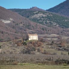
Pic Bouine, Mountain summit in Provence-Alpes-Côte d'Azur, France
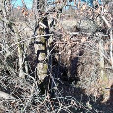
Pic Bouine is a mountain summit in southeastern France that rises to 821 meters above sea level. From its peak, you can see the surrounding landscape with forests, river valleys, and agricultural areas.
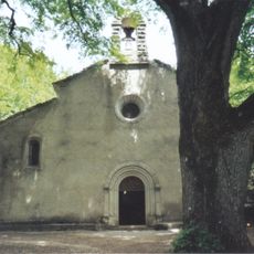
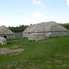
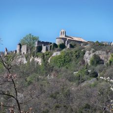
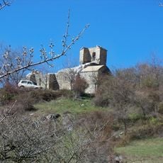
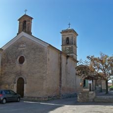
The mountain lies within the Forcalquier region and has served as a geographical landmark for local communities for generations. Its role as a reference point has remained unchanged over time.
The summit provides a central viewpoint over the region's lavender fields, which form an important part of Provençal agriculture. From above, you can see how these cultivated areas stretch across the surrounding hills.
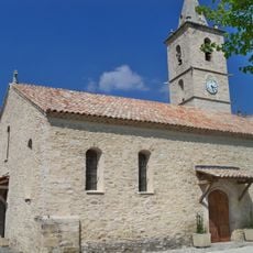
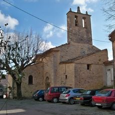
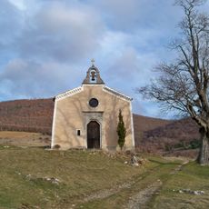
Hikers can reach the summit via marked trails that connect nearby villages like Banon, Saint-Pancrace, and La Rochegiron. These routes remain accessible throughout the year and offer different levels of difficulty.
From the top you can see views of the Bois du Cracq forest and the Le Largue river valley that change with the seasons. Spring and summer reveal green and lively landscapes, while other seasons bring different light and colors.
The community of curious travelers
AroundUs brings together thousands of curated places, local tips, and hidden gems, enriched daily by 60,000 contributors worldwide.