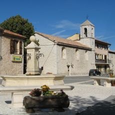
Mont Boroux, Mountain summit in southern France
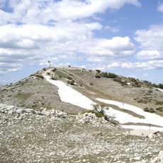
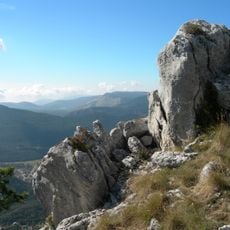
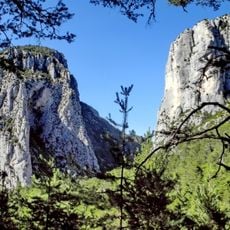
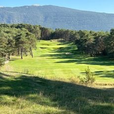
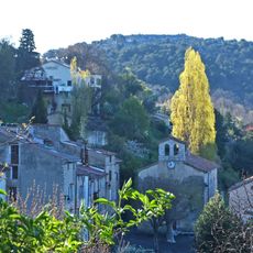
Mont Boroux is a mountain summit in southeastern France that rises to approximately 1,173 meters and offers expansive views across the surrounding valleys and slopes from its peak. The landscape around it features open meadows, rocky outcrops, and natural terrain formations that have made this location a recognizable landmark in the region.
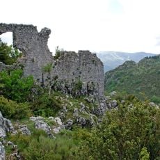
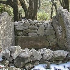
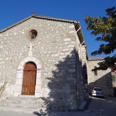
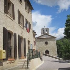
The mountain served for centuries as a natural boundary marker between different administrative districts, shaping the territorial organization of the region. This function as a distinctive landmark was of practical importance for defining community boundaries.
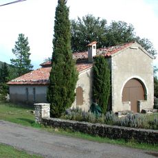
Local shepherds maintain traditional grazing practices on the slopes of Mont Boroux, continuing centuries-old agricultural methods in the region.
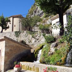
The ascent is accessible via marked hiking trails that start from nearby villages, with routes presenting varying difficulty depending on the starting point and fitness level. Visitors should bring appropriate gear and sturdy footwear, as the path includes exposed and rocky sections.
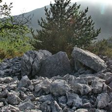
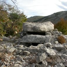
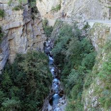
The rock composition of the summit displays clearly visible tectonic structures that allow researchers to understand the geological processes that formed the regional mountain ranges. These natural features offer visitors a direct glimpse into the geological history of the area.
Elevation above the sea: 1,173 m
GPS coordinates: 43.78194,6.71861
Latest update: December 15, 2025 13:23
Montagne de Lachens
6 km
Réserve biologique des monts d'azur
10.6 km
Castellaras de Thorenc
9.7 km
Moulin de la Siagnole
10 km
Chapelle Notre-Dame de Gratemoine de Séranon
2.2 km
Dolmen des Riens
9.3 km
Bauroux
108 m
Les Claps dolmen
8.3 km
Église Saint-Sauveur de Gars
11.5 km
Gorges de l'Artuby
9.7 km
Chapelle Saint-Joseph de Gars
11.8 km
Chapelle Saint-Martin de Briançonnet
9.7 km
Chapelle Saint-Léonce de Valderoure
2.8 km
Dolmen de Saint-Marcelin
10.5 km
Domaine de Taulane
6.6 km
Église Saint-Pierre-et-Saint-Paul de Mons
10.1 km
Église Sainte-Madeleine de La Bastide
9.2 km
Église Saint-Martin d'Escragnolles
7.7 km
Église paroissiale de Soleilhas
10 km
Église de la Purification-de-Notre-Dame de La Martre
9.6 km
Église Notre-Dame-de-l'Assomption de Briançonnet
9.8 km
Église Saint-Étienne de Saint-Auban
7.4 km
Église Saint-Roch de Valderoure
1.8 km
Église Saint-Étienne de Caille
951 m
Nouvelle chapelle Saint-Pierre dite San-Peyre de Mons
9.5 km
Église Sainte-Claire d'Andon
5.5 km
Chapelle Saint-Pierre dite San-Peyre de Riens
9.5 km
Clue de Saint-Auban
7.9 kmVisited this place? Tap the stars to rate it and share your experience / photos with the community! Try now! You can cancel it anytime.
Discover hidden gems everywhere you go!
From secret cafés to breathtaking viewpoints, skip the crowded tourist spots and find places that match your style. Our app makes it easy with voice search, smart filtering, route optimization, and insider tips from travelers worldwide. Download now for the complete mobile experience.
A unique approach to discovering new places❞
— Le Figaro
All the places worth exploring❞
— France Info
A tailor-made excursion in just a few clicks❞
— 20 Minutes