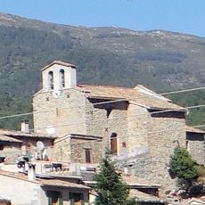
Pic de Fourneuby, Mountain summit in Préalpes d'Azur, France
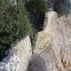
Pic de Fourneuby is a 1421-meter summit in the Préalpes d'Azur featuring a long ridge where forest, pine groves, and meadows alternate. Stone cairns dot the trail to help guide hikers along this varied route.
The mountain paths around this peak were established as hiking routes in the French Alps to connect villages in the Préalpes d'Azur region. These trails developed through centuries of herding use and later became organized trekking routes.
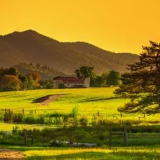
Shepherds use the mountain meadows for traditional herding, shaping the landscape where forest gives way to open grazing land.
The hike starts at the Col de Bleine parking area and follows yellow-marked trails for about 13.9 kilometers with roughly 864 meters of elevation gain. Sturdy boots and water are essential since sections are exposed and sometimes steep.
At the summit sits a DFCI water tank marked with a white H symbol that serves as a key navigation point for hikers. This marker is part of a regional fire prevention system and helps visitors confirm their position on the mountain trails.
The community of curious travelers
AroundUs brings together thousands of curated places, local tips, and hidden gems, enriched daily by 60,000 contributors worldwide.