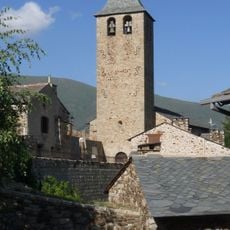
La Llevanera, Mountain peak in Censà and Oreilla, France
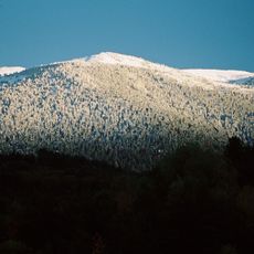
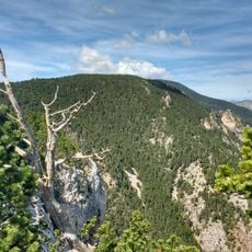
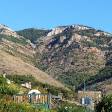
La Llabanère is a mountain summit standing at 2050 meters that forms the boundary between the towns of Censà and Oreilla in the Pyrénées-Orientales region. The peak sits within a landscape of ridges and high plateaus that stretch across the eastern Pyrenees.
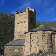
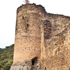
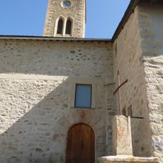
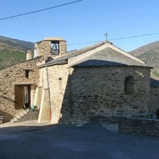
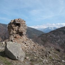
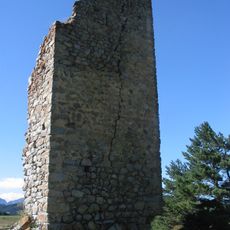
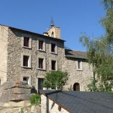
Evidence of human activity in this mountain area reaches back to medieval times and earlier periods, with documented records of settlement dating to 957. Remains of prehistoric and medieval structures are scattered across the terrain.
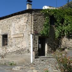
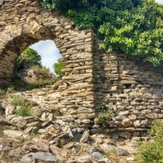
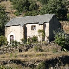
The land around this peak shows the pastoral traditions of mountain communities through simple stone shelters that shepherds built and used. These structures reflect how people organized their lives around herding animals across the high valleys.
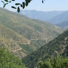
The hike from Oreilla village takes roughly seven hours to reach the summit, with steep climbs totaling around 1350 meters on paths that are sometimes unmarked. Hikers should come prepared for changing weather and carry enough water for the full day.
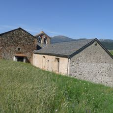
The walking route crosses the Mosquirols plateau and descends into the Pero ravine, where stone shepherd shelters mark the ancient paths that pastoral herds once followed. These shelters reveal how shepherds moved seasonally between different grazing lands.
The community of curious travelers
AroundUs brings together thousands of curated places, local tips, and hidden gems, enriched daily by 60,000 contributors worldwide.