Enable Location

We need your location to show you interesting places around you

Discover nearby places

Find interesting locations and hidden gems around you

Precise directions

Get accurate directions and distances to places

Your location is never shared with other users. It's only used when you tap the location button.

Route départementale 42

Log in to your account

Start exploring — it's free

Trusted by 62,546 travelers worldwide

Continue with Google
Continue with Apple
or

We will send you a code to connect

By continuing, you accept our Terms and Conditions and our Privacy Policy

Check your inbox

We've sent a pincode in your inbox. Please enter the code below.

Route départementale 42

Route départementale 42, road in Savoie, France

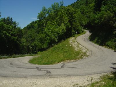
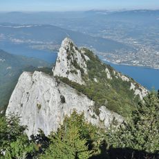
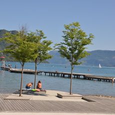
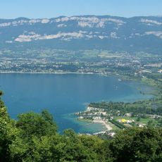
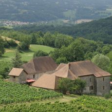
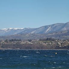
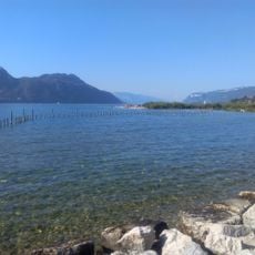
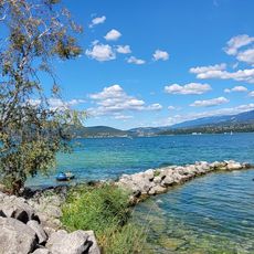
Route Départementale 42 is a mountain road in Savoie connecting Le Bourget-du-Lac with Meyrieux-Trouet and Saint-Paul, spanning about 22 kilometers (13.7 miles). The road follows the slopes of Mont du Chat with tight curves and offers viewpoints overlooking the lake and surrounding landscape.

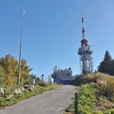
The road was built in the 1960s to connect transmission stations on Mont du Chat and link different regions of Savoie. It later gained fame when Tour de France cyclists passed through twice, making it known as one of France's toughest climbs despite its short distance.

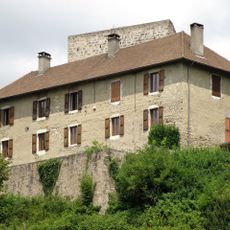
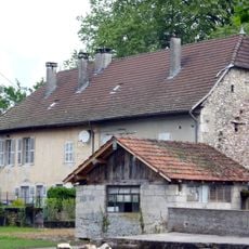
The road links small communities and shows visitors how locals move through their landscape. Drivers often pause at rest areas along the way to enjoy local food or simply observe the countryside rhythm.

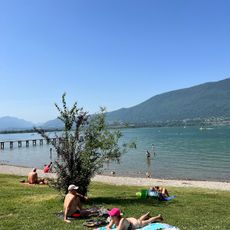
The road is best driven during warmer months as winter snow often closes it temporarily. Drive slowly through the many curves and use the parking areas at viewpoints to safely enjoy the views without rushing.

Paragliders use a takeoff area at the Mont du Chat summit to launch from strong mountain winds. This activity is possible because the elevation and exposed location create ideal conditions for free flight.

The community of curious travelers

AroundUs brings together thousands of curated places, local tips, and hidden gems, enriched daily by 60,000 contributors worldwide.

Start exploring
Location
Location
GPS coordinates
45.66085,5.82153
Latest update
February 9, 2026 07:44
« Route départementale 42 - road in Savoie, France » is provided by Around Us (aroundus.com). Images and texts are derived from Wikimedia project under a Creative Commons license. You are allowed to copy, distribute, and modify copies of this page, under the conditions set by the license, as long as this note is clearly visible.

Discover hidden gems everywhere you go!

From secret cafés to breathtaking viewpoints, skip the crowded tourist spots and find places that match your style. Our app makes it easy with voice search, smart filtering, route optimization, and insider tips from travelers worldwide. Download now for the complete mobile experience.

Around Us App Screenshot

A unique approach to discovering new places

Le Figaro

All the places worth exploring

France Info

A tailor-made excursion in just a few clicks

20 Minutes

Around Us
Travel Guide & Maps
Download

Send to your phone

QR Code
1

Open the camera app on your mobile.

2

Point at the QR code with your camera. A notification will appear.

3

Tap the notification to open the link.