Nuh district, Administrative district in Faridabad division, India
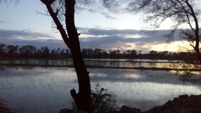
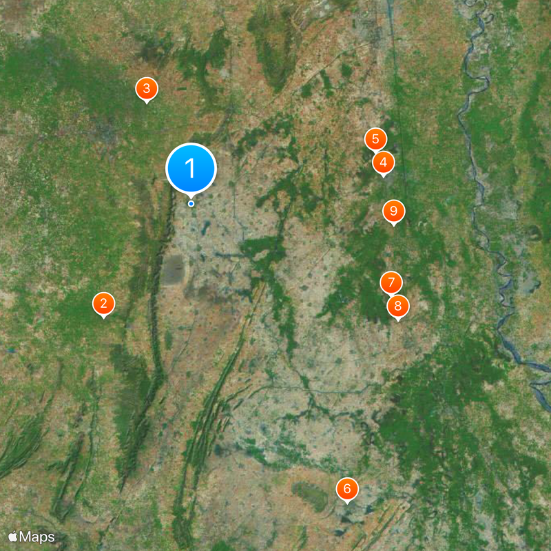
Nuh district is an administrative division in northern Haryana, covering around 1,500 square kilometers marked by Aravali hills and valleys scattered throughout. The territory includes four administrative subdivisions linked by National Highway 248A, which connects it to neighboring regions.
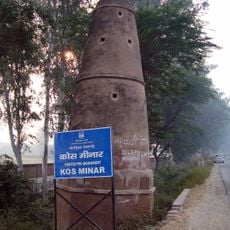
This region traces its roots to ancient territories of Matsya-desh and Surasena, which later fell under different rulers from medieval times through the British colonial period. Successive governance brought various cultural and administrative influences that shaped the land.
The Meo community shapes daily life here, with farming practices and religious observances woven into the rhythm of villages and towns throughout the region.
Getting around the area is easiest using National Highway 248A, which provides access to the four main administrative hubs and surrounding areas. Planning ahead helps since the region spans a large area and local conditions can vary between different parts.
The landscape experiences dramatic seasonal temperature swings that shape agricultural patterns and daily life for those living here. This climate variation is a defining characteristic of the region's geography and affects how people adapt their routines throughout the year.
Location: Faridabad division
Capital city: Nuh
Shares border with: Rewari district, Bharatpur district
Website: https://nuh.gov.in
GPS coordinates: 28.10000,77.00000
Latest update: December 14, 2025 19:26
Tijara Jain Temple
24 kmHeritage Transport Museum, Gurgaon
18.6 km
Palwal Kos Minar No. 19
32.5 kmAlapur Kos Minar No. 18
31.9 kmChaurasi Khamba temple
56.4 kmBanchari Kos Minar No. 24
36.8 kmBanchari Kos Minar No. 25
39.6 kmBamani Khera Kos Minar No. 21
34 kmKhusropur Kos Minar No. 20
32.8 kmBhulwana Kos Minar No. 27
46.7 kmSikri Kos Minar No. 15
35.4 kmAurangabad Kos Minar No. 22
34.1 kmLal Masjid
22.9 kmGadhpuri Kos Minar No. 16
32.8 kmHodal Kos Minar No. 26
42.8 kmKhatela Sarai Kos Minar No. 23
34.4 kmFortified Sarai with all its walls and gateways
54.8 kmGadhpuri Kos Minar No. 17
32.1 kmKos Minar, Mile 29 Furlong 4
50.1 kmKos Minar, Mile 26 Furlong 7
53.9 kmBilaspur Khurd
24.6 kmAbandoned unusual hotel
27.7 kmTijara Fort
22.8 kmChaudhary Devi Lal
17.5 kmAbandoned Stone Mine
28.5 kmPlace of worship, wayside shrine, house of prayer
51.5 km4 R(S)
22.7 kmWaterfall
36.7 kmVisited this place? Tap the stars to rate it and share your experience / photos with the community! Try now! You can cancel it anytime.
Discover hidden gems everywhere you go!
From secret cafés to breathtaking viewpoints, skip the crowded tourist spots and find places that match your style. Our app makes it easy with voice search, smart filtering, route optimization, and insider tips from travelers worldwide. Download now for the complete mobile experience.
A unique approach to discovering new places❞
— Le Figaro
All the places worth exploring❞
— France Info
A tailor-made excursion in just a few clicks❞
— 20 Minutes