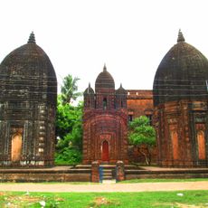
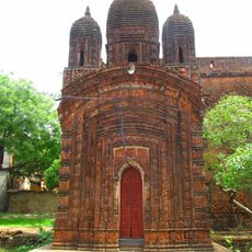
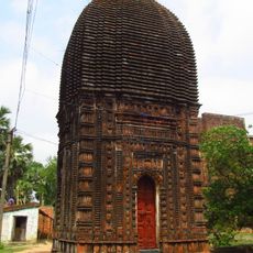
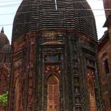
Bharatpur II community development block, Administrative block in Kandi subdivision, India
Bharatpur II is an administrative block in Kandi subdivision, located in Murshidabad district in West Bengal. The territory spans roughly 99 square kilometers across flat land in the eastern part of the state, serving both rural and semi-urban communities.
The block was established as part of West Bengal's administrative reorganization and now functions as an established district within the Murshidabad region. Its creation reflects the state's efforts to organize local governance through a decentralized system of development blocks.
The population of 176,368 residents includes both Muslim and Hindu communities, with Bengali serving as the primary language throughout the development block.
The block maintains numerous primary and secondary schools distributed across its territory for residents' access. A primary health centre with inpatient beds and smaller health posts provide medical services to the scattered population.
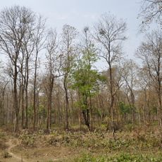
The region is known for diverse farming where local farmers grow different crops across multiple seasons depending on water availability. Jute and sugarcane are important trade crops alongside traditional rice varieties that define the local economy.
Location: Kandi subdivision
Elevation above the sea: 26 m
Shares border with: Bharatpur I community development block, Beldanga II community development block, Kaliganj community development block, Ketugram I community development block, Ketugram II community development block
GPS coordinates: 23.78212,88.09963
Latest update: December 12, 2025 07:59
Krishnath College
37.5 km
Bethuadahari Wildlife Sanctuary
36.2 km
Attahas Shaktipeeth
10.3 km
Fullara
29.6 km
Palashi Monument
15 km
Juranpur Satipith
12.9 km
Residency Cemetery
38.8 km
St. Mary Armenian Church
41.1 km
Memorial of Madanmohan Tarkalankar
35.7 km
Zamindar House of Singha Roy family
33 km
Tomb of Mir Madan
14.6 km
Dayamoyee Kali temple
41.1 km
Samaj Bari
20.8 km
Annapurna temple of Singha Ray family
31.4 km
Three Charchala temples
32.7 km
Dainhat charchala temple
21.1 km
Temple complex of Chanda family
29.5 km
Pancharatna temple of Chanda family
29.5 km
Rekha Deul of Chanda family
29.5 km
Octagonal Deul of Chanda family
29.5 km
Aatchala temple of Chandra family
20.8 km
Radhagobinda temple
23.3 km
Kalagni Rudradev temple
10.4 km
Jora deul of Gon family
38.5 km
Putsuri charchala temple
38.4 km
Kishore Kishori temple
20.8 km
Ghosh Chowdhury Zamindar house
33.7 km
Zamindar house of Bandopadhyay family
7.9 kmVisited this place? Tap the stars to rate it and share your experience / photos with the community! Try now! You can cancel it anytime.
Discover hidden gems everywhere you go!
From secret cafés to breathtaking viewpoints, skip the crowded tourist spots and find places that match your style. Our app makes it easy with voice search, smart filtering, route optimization, and insider tips from travelers worldwide. Download now for the complete mobile experience.
A unique approach to discovering new places❞
— Le Figaro
All the places worth exploring❞
— France Info
A tailor-made excursion in just a few clicks❞
— 20 Minutes