Dashtab Rural District, rural district in Kerman, Iran
Location: Central District
Capital city: Koshkuiyeh
Part of: Baft County
GPS coordinates: 28.96583,56.59306
Latest update: March 8, 2025 08:47
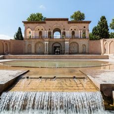
Shazdeh Garden
135.4 km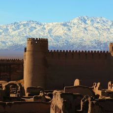
Rayen Citadel
107.8 km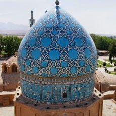
Shah Nematollah Vali Shrine
139.2 km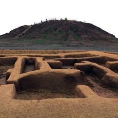
Konar Sandal
128.6 km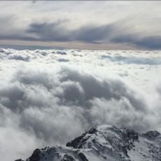
Kūh-e Hezār
89.6 km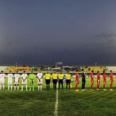
Shahid Bahonar Stadium
150.2 km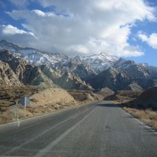
Khabr National Park and Ruchun Wildlife Refuge
37.8 km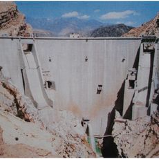
Jiroft Dam
85.9 km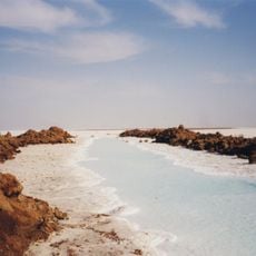
Salt desert of sirjan
116.7 km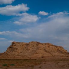
Sirjan Stone Castle
92.2 km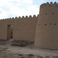
Hoshun Castle
42.2 km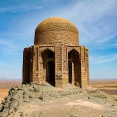
Shah Firuz Mausoleum
87.2 km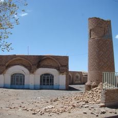
Jameh Mosque of Negar
101.5 km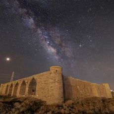
Khaneh Sorkh Caravanserai
107.3 km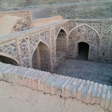
Khargur Caravanserai
120.9 km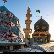
Saheb al-Zaman Mosque (Kerman)
153 km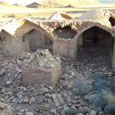
Galu Sefteh Caravanserai
105.8 km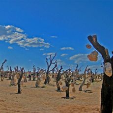
Stony Garden
67.9 km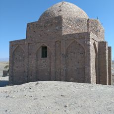
Mir Zubayr Mausoleum
111.2 km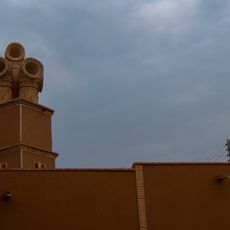
Chopoqi Windcatcher
104.1 km
Daryācheh-ye Sadd-e Halīl Rūd
84.1 km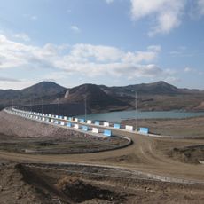
Baft Dam
32.7 km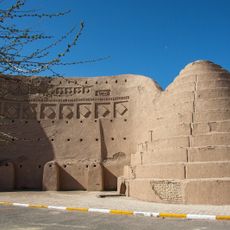
Sirjan Twin Icehouses
105.5 km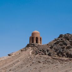
Shah Firuz Hill Petroglyphs
87.3 km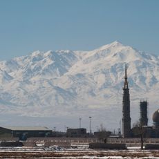
Imamzadeh Muhammad (Bardsir)
108.6 km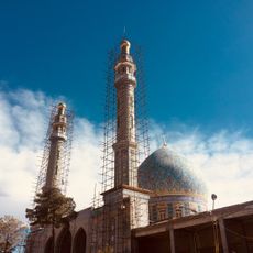
Imamzadeh Ali (Sirjan County)
92.9 km
Āb Anbār-e Berkeh-ye ‘Abbās
136.4 km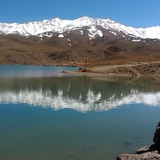
Lalehzar Dam
62 kmReviews
Visited this place? Tap the stars to rate it and share your experience / photos with the community! Try now! You can cancel it anytime.
Discover hidden gems everywhere you go!
From secret cafés to breathtaking viewpoints, skip the crowded tourist spots and find places that match your style. Our app makes it easy with voice search, smart filtering, route optimization, and insider tips from travelers worldwide. Download now for the complete mobile experience.

A unique approach to discovering new places❞
— Le Figaro
All the places worth exploring❞
— France Info
A tailor-made excursion in just a few clicks❞
— 20 Minutes