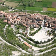
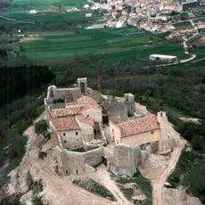
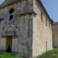
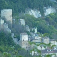
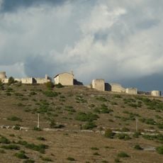
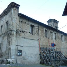
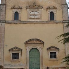
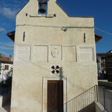
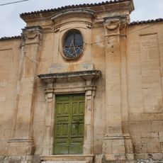
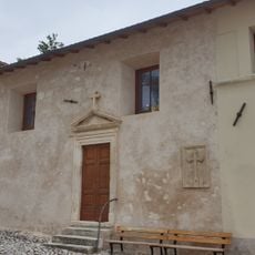
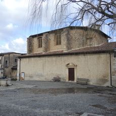
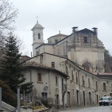
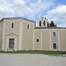
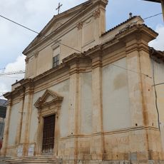
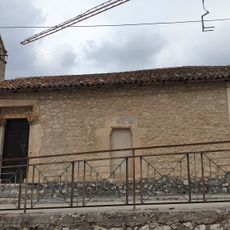
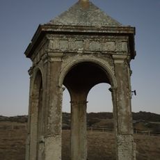
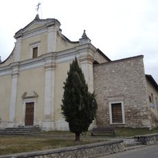
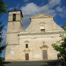
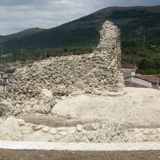
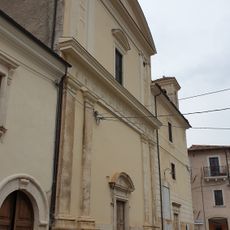
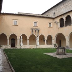
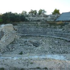
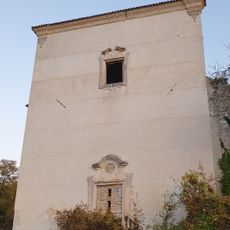
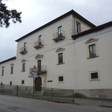
San Demetrio ne' Vestini, Italian comune
Location: Province of L'Aquila
Elevation above the sea: 662 m
Shares border with: Barisciano, Fagnano Alto, Prata d'Ansidonia, Sant'Eusanio Forconese, Villa Sant'Angelo, Poggio Picenze, Rocca di Mezzo
Website: http://comune.sandemetrionevestini.aq.it
GPS coordinates: 42.29056,13.55611
Latest update: March 27, 2025 10:38
Grotte di Stiffe
4 km
Peltuinum
5.5 km
Necropolis of Fossa
4.8 km
Aveia
5.6 km
Camponeschi Castle
5.7 km
San Paolo di Peltuinum
5.4 km
Castle of Fossa
5.7 km
Castle of Sant'Eusanio Forconese
2.9 km
Santa Maria Assunta (Fossa)
5.6 km
Santa Maria di Valleverde
4.7 km
Chiesa di San Clemente
5.1 km
Santa Maria del Carmine
4.9 km
Madonna dell'Immacolata
4.9 km
Chiesa di San Giovanni Battista
4.9 km
Santa Maria dei Raccomandati
187 m
Santa Maria della Consolazione
4.5 km
San Flaviano
4.9 km
Santa Maria di Capo di Serra
5 km
Palco della Rimembranza
6.8 km
San Demetrio da Tessalonica
391 m
San Felice Martire
3.5 km
Castello di Poggio Picenze
3.5 km
Santissima Trinità
4.9 km
Convent of Saint Francis
7.6 km
Museo dei bambini L'Aquila
4.5 km
Peltuinum amphitheatre
5.7 km
Convento dei Cappuccini
7.3 km
Palazzo Pignatelli Cappelli
264 mVisited this place? Tap the stars to rate it and share your experience / photos with the community! Try now! You can cancel it anytime.
Discover hidden gems everywhere you go!
From secret cafés to breathtaking viewpoints, skip the crowded tourist spots and find places that match your style. Our app makes it easy with voice search, smart filtering, route optimization, and insider tips from travelers worldwide. Download now for the complete mobile experience.
A unique approach to discovering new places❞
— Le Figaro
All the places worth exploring❞
— France Info
A tailor-made excursion in just a few clicks❞
— 20 Minutes