Enable Location

We need your location to show you interesting places around you

Discover nearby places

Find interesting locations and hidden gems around you

Precise directions

Get accurate directions and distances to places

Your location is never shared with other users. It's only used when you tap the location button.

Pretoro

Log in to your account

Start exploring — it's free

Trusted by 62,171 travelers worldwide

Continue with Google
Continue with Apple
or

We will send you a code to connect

By continuing, you accept our Terms and Conditions and our Privacy Policy

Check your inbox

We've sent a pincode in your inbox. Please enter the code below.

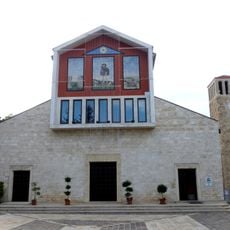
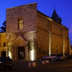
Pretoro, Mountain commune in Province of Chieti, Italy.

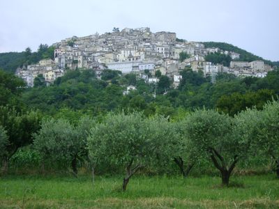
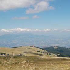
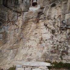
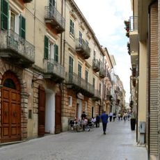
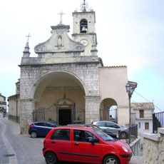
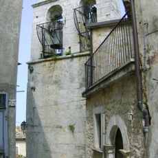
Pretoro is a commune perched at 560 meters elevation on a steep slope on the eastern side of the Maiella mountains in Abruzzo. The settlement climbs the hillside with buildings following the natural contours of the terrain.

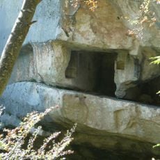
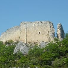
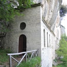
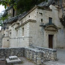
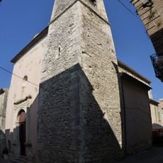
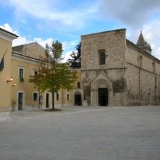
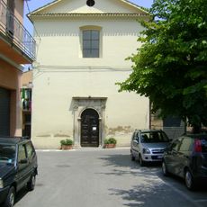
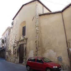
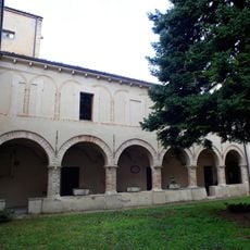
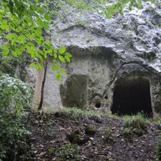
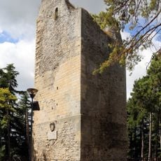
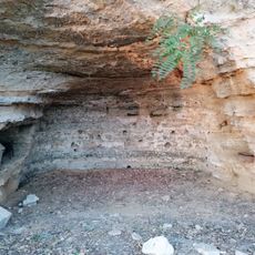
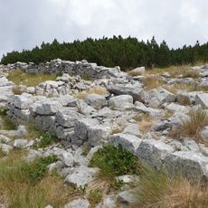
Archaeological finds near Fonte Tasca show human settlements dating back to the Bronze Age. The fortified village took its present form around 1200.

The village carries forward a woodworking tradition tied to the surrounding beech forests, producing handcrafted items that reflect local skills. This craft heritage shapes how people here work and live.

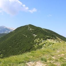
The location offers easy access to winter sports at the Passo Lanciano-La Majelletta ski area and Adriatic beaches, both about 20 minutes away by car. The hillside setting means sturdy shoes and some climbing are needed to explore the village on foot.

Seven distinct quarters of the old town center participate in a roaming festival during the Night of San Lorenzo, each area displaying local music and food. This yearly event brings the different neighborhoods together around shared traditions.

The community of curious travelers

AroundUs brings together thousands of curated places, local tips, and hidden gems, enriched daily by 60,000 contributors worldwide.

Start exploring
Capital city
Pretoro
Elevation above the sea
560 m
Shares border with
Fara Filiorum Petri, Lettomanoppello, Pennapiedimonte, Roccamontepiano, Roccamorice, Serramonacesca, Rapino
Address
Comune, Via dei Mulini, 3/a
GPS coordinates
42.21630,14.14304
Latest update
December 7, 2025 20:48
« Pretoro - Mountain commune in Province of Chieti, Italy » is provided by Around Us (aroundus.com). Images and texts are derived from Wikimedia project under a Creative Commons license. You are allowed to copy, distribute, and modify copies of this page, under the conditions set by the license, as long as this note is clearly visible.

Discover hidden gems everywhere you go!

From secret cafés to breathtaking viewpoints, skip the crowded tourist spots and find places that match your style. Our app makes it easy with voice search, smart filtering, route optimization, and insider tips from travelers worldwide. Download now for the complete mobile experience.

Around Us App Screenshot

A unique approach to discovering new places

Le Figaro

All the places worth exploring

France Info

A tailor-made excursion in just a few clicks

20 Minutes

Around Us
Travel Guide & Maps
Download

Send to your phone

QR Code
1

Open the camera app on your mobile.

2

Point at the QR code with your camera. A notification will appear.

3

Tap the notification to open the link.