
Fiorano al Serio, Italian comune
Location: Province of Bergamo
Capital city: Fiorano al Serio
Elevation above the sea: 396 m
Shares border with: Gazzaniga, Cene, Vertova, Casnigo
Website: http://comune.fioranoalserio.bg.it
GPS coordinates: 45.80194,9.84306
Latest update: April 2, 2025 05:53

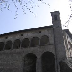
San Patrizio Sanctuary
2.4 km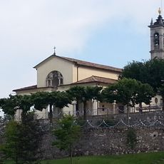
Santuario di Altino
3.9 km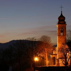
Santissima Trinità
3.1 km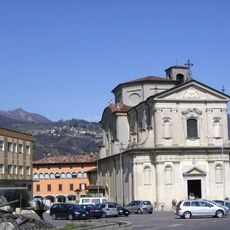
Chiesa di San Zenone
3 km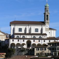
Vertova Church
1 km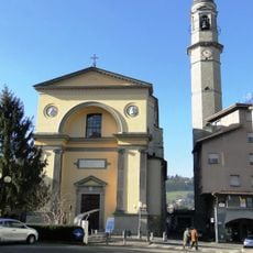
San Michele
3.2 km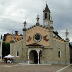
San Giorgio Martire Church
492 m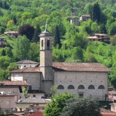
San Martino
3.4 km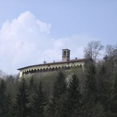
Holy Trinity Church
3.1 km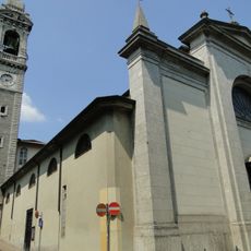
St.Ippolito
850 m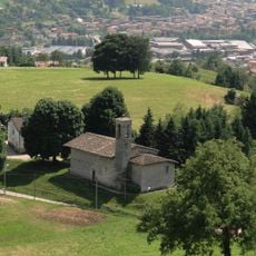
San Rocco Church
1.4 km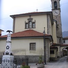
Chiesa di San Giovanni Battista
2.5 km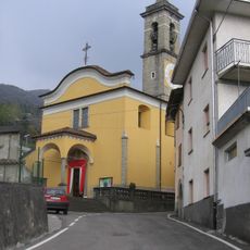
Sant'Andrea
3.4 km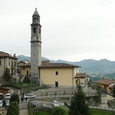
Santissima Trinità
1.6 km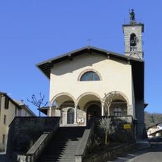
Chiesa di San Rocco
3.2 km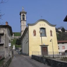
San Bernardino
271 m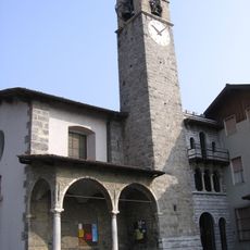
San Maurizio
1.8 km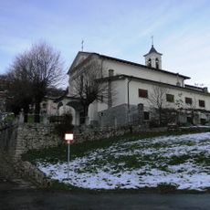
San Bernardino
4 km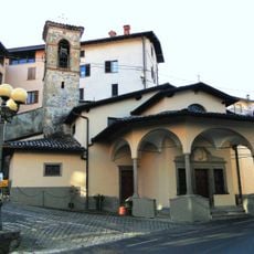
Santa Elisabetta
3.3 km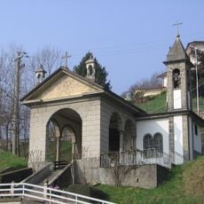
Chiesa di Santa Maria ad Nives (Gazzaniga)
1 km
MUSEUM OF TEXTILE "Martinelli Ginetto"
3.6 km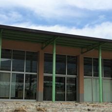
Museo del tessile
3.6 km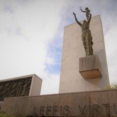
Monumento ai Caduti (Leffe)
3.2 km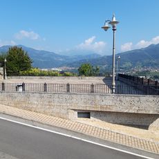
Piazza Belvedere
3.2 km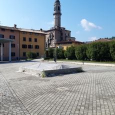
Piazza Unità d'Italia
3.3 km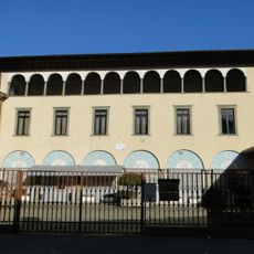
Palazzo Mosconi
3.2 km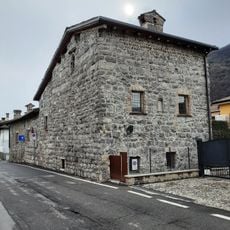
Torre del Mazzo
2.3 km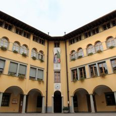
Town hall (Leffe)
3.3 kmReviews
Visited this place? Tap the stars to rate it and share your experience / photos with the community! Try now! You can cancel it anytime.
Discover hidden gems everywhere you go!
From secret cafés to breathtaking viewpoints, skip the crowded tourist spots and find places that match your style. Our app makes it easy with voice search, smart filtering, route optimization, and insider tips from travelers worldwide. Download now for the complete mobile experience.

A unique approach to discovering new places❞
— Le Figaro
All the places worth exploring❞
— France Info
A tailor-made excursion in just a few clicks❞
— 20 Minutes