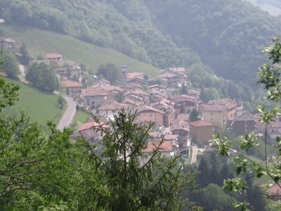
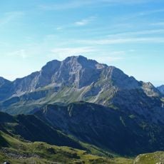
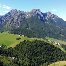
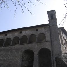
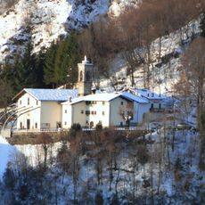
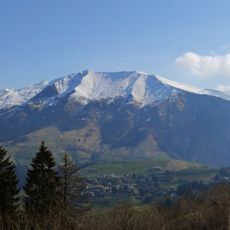
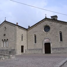
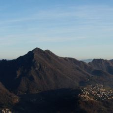
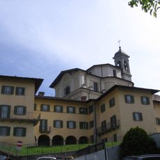
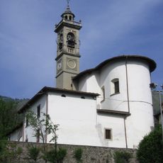
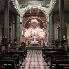
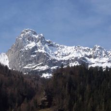
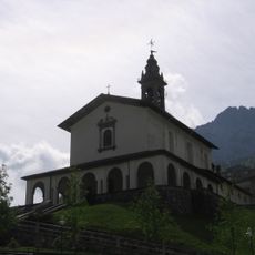
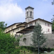
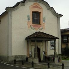
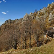
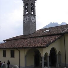
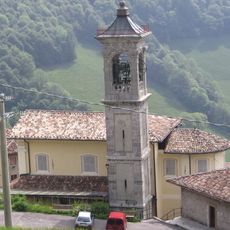
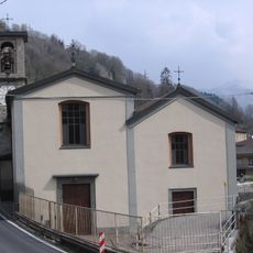
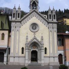
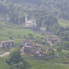
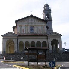
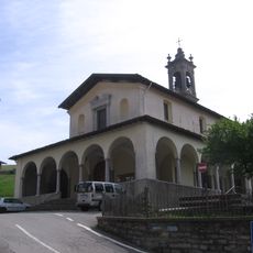
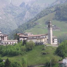
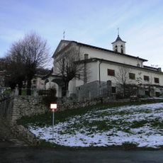
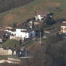
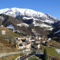
Oneta, Italian comune
Location: Province of Bergamo
Capital city: Oneta
Elevation above the sea: 740 m
Shares border with: Premolo, Gorno, Cornalba, Colzate, Oltre il Colle, Vertova
Website: http://comune.oneta.bg.it
GPS coordinates: 45.87149,9.81935
Latest update: March 24, 2025 02:32
Pizzo Arera
7 km
Monte Alben
3.1 km
San Patrizio Sanctuary
6.1 km
Santuario della Madonna del Frassino
1.2 km
Monte Grem
4.1 km
Chiesa di Santa Maria Annunziata
4.8 km
Mount Suchello
6.1 km
Santa Maria Annunziata
6.9 km
San Giacomo Maggiore Apostolo e Sant'Alessandro Martire Church
7.7 km
San Martino di Tours
2.2 km
Cima Valmora
6.8 km
Chiesa di San Pietro
5.7 km
San Bartolomeo Church
4.5 km
Chiesa di Santa Maria Assunta
31 m
Chiesa di San Rocco
5.3 km
Bivacco Dante Testa
3.2 km
Chiesa di Sant'Andrea
4.3 km
Chiesa di Sant'Antonio
1.8 km
Chiesa di San Bernardino
5.1 km
Sacro Cuore di Gesù Church
6.1 km
Chiesa di San Bartolomeo
4.5 km
San Pietro
6.4 km
San Michele Arcangelo e San Gottardo Vescovo
6.1 km
Santa Maria Maddalena
3.8 km
San Bernardino
4.7 km
San Bartolomeo Apostolo
1.5 km
Chiesa della Santissima Trinità
5.2 km
Miniera Costa Jels
475 mReviews
Visited this place? Tap the stars to rate it and share your experience / photos with the community! Try now! You can cancel it anytime.
Discover hidden gems everywhere you go!
From secret cafés to breathtaking viewpoints, skip the crowded tourist spots and find places that match your style. Our app makes it easy with voice search, smart filtering, route optimization, and insider tips from travelers worldwide. Download now for the complete mobile experience.
A unique approach to discovering new places❞
— Le Figaro
All the places worth exploring❞
— France Info
A tailor-made excursion in just a few clicks❞
— 20 Minutes