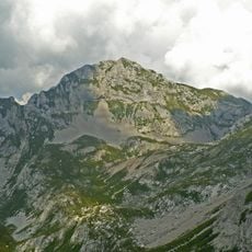
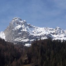
Monte Grem, Mountain peak in Bergamasque Pre-Alps, Italy
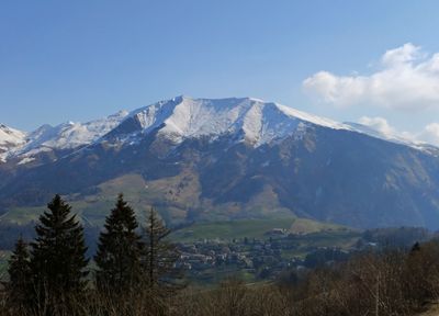
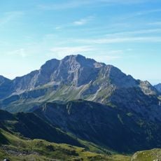
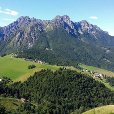
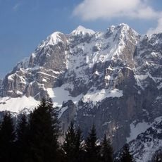
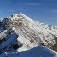
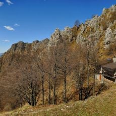
Monte Grem rises to 2049 meters (6723 ft) between the Val del Riso and Val Serina valleys with rolling grassy slopes. A network of marked hiking routes crosses the mountain, connecting lower elevations to the summit area.
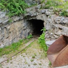
The mountain held valuable mineral deposits including calamine, sphalerite, and galena that attracted mining activity since Roman times. Extraction of these minerals shaped the region's economy and landscape until the late 1900s.
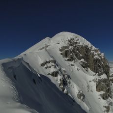
The summit cross from 1962 honors Don Severino Tiraboschi of Gromo and marks the highest point where visitors arrive. It serves as a visible landmark and a local memorial that shapes the place's meaning for the community.
The main trail begins at Piazza di Oneta following route 223, while alternative paths start from Gorno and the Capanna 2000 shelter. All routes are clearly marked, allowing visitors to choose different duration and difficulty options.
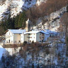
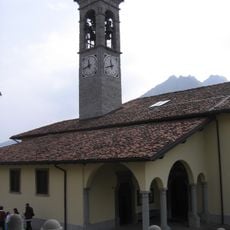
Mountain shelters scattered across the slopes include Baita Alpe Grem, Rifugio Baita Mistri, and Rifugio-bivacco Enrico Telini at different elevations. These huts serve as rest stops and support multi-day hiking routes across the massif.
The community of curious travelers
AroundUs brings together thousands of curated places, local tips, and hidden gems, enriched daily by 60,000 contributors worldwide.