Cima del Fop, Mountain summit in Lombardy, Italy
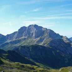
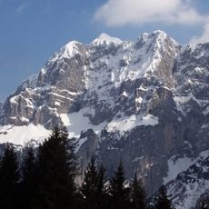
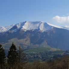
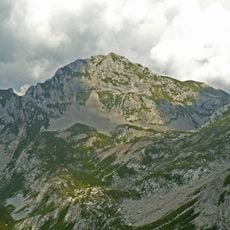
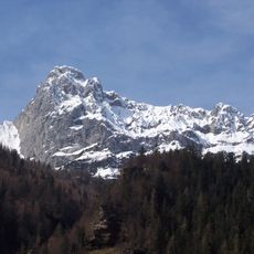
Cima del Fop is a 2,322 m mountain of the Bergamasque Prealps in the province of Bergamo, on the watershed between the Valcanale and the Valle Dossana. It is the second-highest summit of a chain running from Cima Vaccaro to Monte Secco and on to Cima del Fop. It drops gently towards Ponte Nossa, Parre and Clusone to the south but falls as a steep rock wall over the Valcanale to the north.
The mountain was shaped by tectonic forces over millions of years as the Prealps formed. These geological processes created the steep structures visible today.
Sheep flocks guided by local shepherds still graze the grassy slopes of Cima del Fop, and the mountain's name appears in the routes of the CAI-marked paths, such as the Giro dell'Alto Serio, that cross its flanks.
The mountain is crossed by marked CAI trails, including the Giro dell'Alto Serio, and the Rifugio Santamaria in Leten sits just below the summit, with the Rifugio Vaccaro also on the slopes. The northern side drops as a steep rock wall into the Valcanale, while the southern slopes descend gently toward Ponte Nossa, Parre and Clusone.
The mountain's vertical drop produces sharply different vegetation zones: beech woods give way to spruce forests, and broad grassy slopes above are grazed by flocks of sheep led by local shepherds. The Nossana stream also rises on its lower slopes.
The community of curious travelers
AroundUs brings together thousands of curated places, local tips, and hidden gems, enriched daily by 94,633 contributors worldwide.