Laives, Italian comune
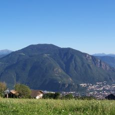
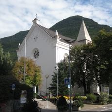
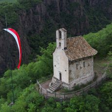
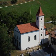
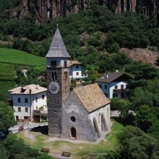
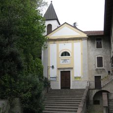
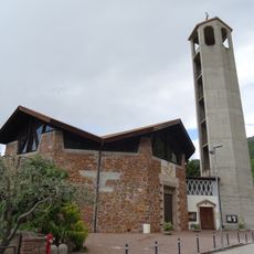
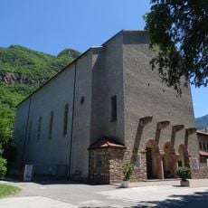
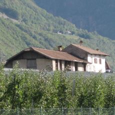
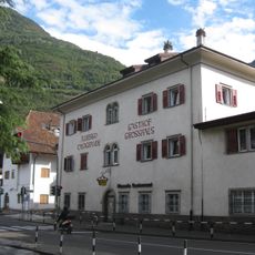
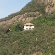
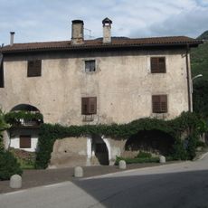
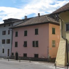
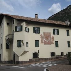
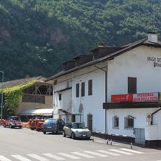
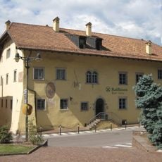
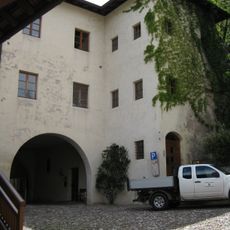
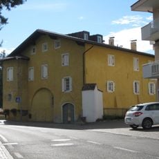
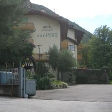
Laives is a commune in South Tyrol situated in a green valley of the Italian Alps. The settlement spreads across gentle hillsides and displays typical alpine village structures with scattered farmhouses and a modest town center.
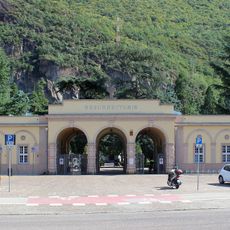
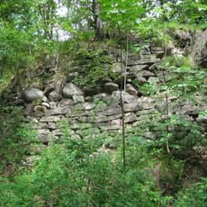
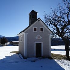
The area was settled in ancient times, with its name stemming from Latin roots dating to that era. By the Middle Ages it had developed as an agricultural settlement, a character it has maintained to the present day.
The name has Latin origins that reflect its deep ties to the region's past. The community maintains a village character where local traditions remain visible in how residents move through daily life.
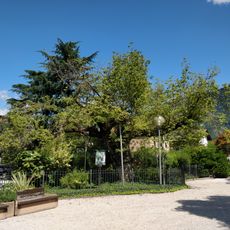
The best time to visit is during warmer months when the hillsides are green and walking routes are accessible. Wear comfortable shoes as the terrain is hilly and many paths are best explored on foot.
The area is known for its traditional apple cultivation, a practice that has flourished in the valleys for generations. The orchards shape the landscape and form a visible part of the local economy as you travel through.
The community of curious travelers
AroundUs brings together thousands of curated places, local tips, and hidden gems, enriched daily by 60,000 contributors worldwide.