
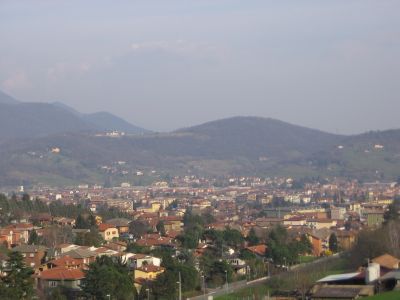
Ranica, Italian comune
Location: Province of Bergamo
Capital city: Ranica
Elevation above the sea: 293 m
Shares border with: Gorle, Alzano Lombardo, Scanzorosciate, Torre Boldone, Ponteranica, Villa di Serio
Website: http://comune.ranica.bg.it
GPS coordinates: 45.73333,9.71667
Latest update: March 9, 2025 15:49
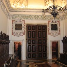
Sagrestie of the Basilica of saint Martin (Alzano Lombardo)
1.1 km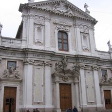
San Martino basilica
1.1 km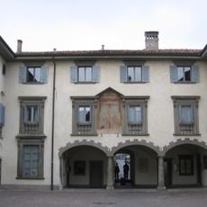
Museo d'Arte Sacra San Martino
1.1 km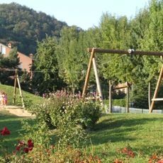
Parco Turani
3 km
Santo Stefano Protomartire
2 km
Monastero di Santa Maria di Torre
2.4 km
Santissimi Sette Fratelli Martiri
766 m
Chiesa San Giorgio Martire
578 m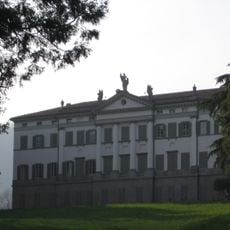
Villa Camozzi
779 m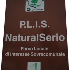
NaturalSerio
2.3 km
San Pietro
777 m
Chiesa di Santa Maria della Pace
762 m
Chiesa di San Martino
2.1 km
Beata Vergine del Buon Consiglio
2 km
Santissima Trinità
1.5 km
San Michele Arcangelo
1.2 km
San Lorenzo
1.8 km
San Pietro
2.9 km
San Pietro antica
2.8 km
San Rocco
1.1 km
Chiesa di San Bernardino (Villa di Serio)
1.9 km
Santa Maria in Campis
2 km
Town hall of Villa di Serio
2 km
San Martino Museum of Sacred Art
1.1 km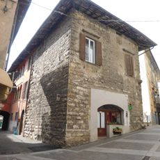
Torrazzo
915 m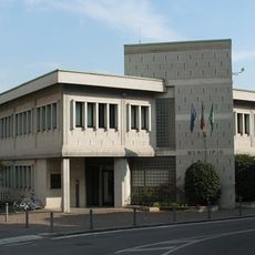
Town hall of Gorle
3.3 km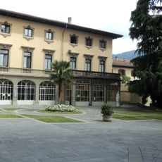
Town hall of Alzano Lombardo
884 m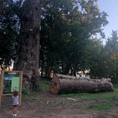
Cedro dell'Atlante
2.4 kmReviews
Visited this place? Tap the stars to rate it and share your experience / photos with the community! Try now! You can cancel it anytime.
Discover hidden gems everywhere you go!
From secret cafés to breathtaking viewpoints, skip the crowded tourist spots and find places that match your style. Our app makes it easy with voice search, smart filtering, route optimization, and insider tips from travelers worldwide. Download now for the complete mobile experience.

A unique approach to discovering new places❞
— Le Figaro
All the places worth exploring❞
— France Info
A tailor-made excursion in just a few clicks❞
— 20 Minutes