Stella, Italian comune
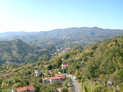
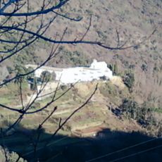
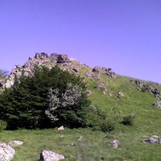
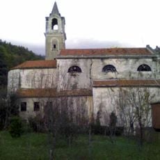
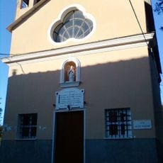
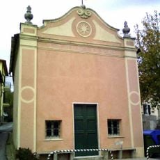
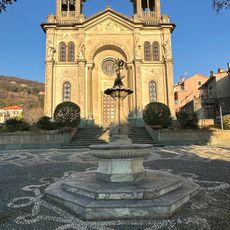
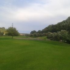
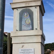
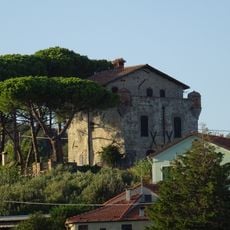
Stella is a small commune in the Province of Savona in Liguria. The village spreads across hillsides behind the coast, with several settlement clusters scattered through the valley.
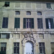
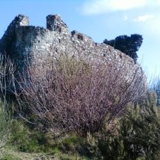
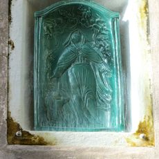
Its origins trace to medieval settlements that developed in this hilly region. Over centuries it remained a rural community, shaped by local farming and craft traditions.
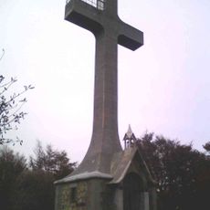
The village is best explored on foot, with pathways leading through narrow alleys between houses. Spring and autumn offer the most pleasant conditions for walking through the area.
The community of curious travelers
AroundUs brings together thousands of curated places, local tips, and hidden gems, enriched daily by 60,000 contributors worldwide.
Location
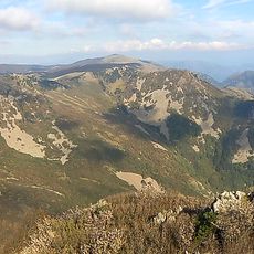
Elevation above the sea
266 m
Shares border with
Albisola Superiore, Celle Ligure, Pontinvrea, Sassello, Varazze
Website
GPS coordinates
44.39690,8.49331
Latest update
December 14, 2025 17:21