Roen, Mountain peak in South Tyrol and Trentino, Italy
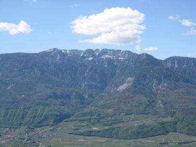
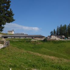
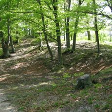
Monte Roen is a mountain peak positioned along the border between South Tyrol and Trentino, rising to 2,116 meters. A network of hiking paths winds through alpine meadows and forests toward the summit, offering various routes suited to different visitors.
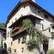
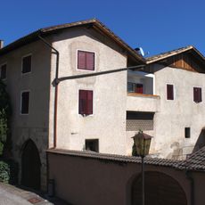
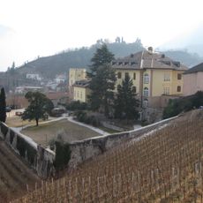
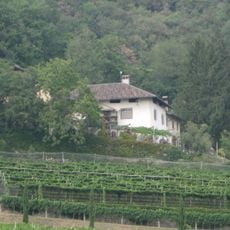
The mountain has served as a natural boundary between South Tyrol and Trentino for centuries, shaping the distinct development of both valleys. This border location remains visible in how the landscape and communities on each side have evolved differently over time.
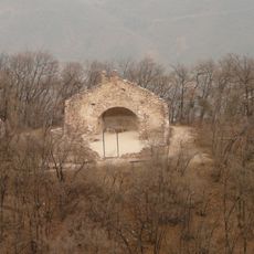
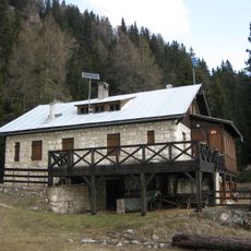
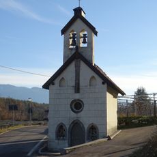
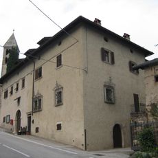
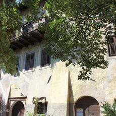
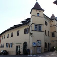
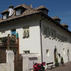
The mountain huts scattered along the paths are gathering places where hikers encounter local traditions and sample regional food made from simple mountain ingredients. These stops connect visitors with the daily rhythm of Alpine life that has shaped the area for generations.
Trail conditions vary with the season, so proper footwear and layered clothing help ensure a comfortable hike regardless of weather changes. Multiple starting points exist besides the main parking area at Bocca delle Valli, allowing flexible planning based on your route preference.
From the summit area, visitors can look down into two distinct valley landscapes on clear days, revealing how the geography and settlement patterns differ markedly on each side. This dual perspective offers a rare vantage point for understanding the region's complexity in a single view.
The community of curious travelers
AroundUs brings together thousands of curated places, local tips, and hidden gems, enriched daily by 60,000 contributors worldwide.