Enable Location

We need your location to show you interesting places around you

Discover nearby places

Find interesting locations and hidden gems around you

Precise directions

Get accurate directions and distances to places

Your location is never shared with other users. It's only used when you tap the location button.

Lac Bleu

Log in to your account

Start exploring — it's free

Trusted by 62,106 travelers worldwide

Continue with Google
Continue with Apple
or

We will send you a code to connect

By continuing, you accept our Terms and Conditions and our Privacy Policy

Check your inbox

We've sent a pincode in your inbox. Please enter the code below.

Lac Bleu

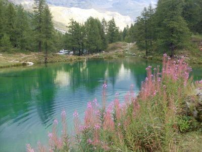
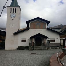
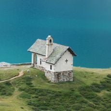
Lac Bleu, lake of Aosta Valley

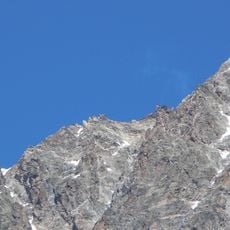
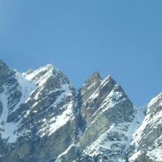
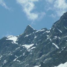
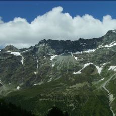
Lac Bleu is a small mountain lake near Valtournenche in the Pennine Alps, fed by natural springs and meltwater from glaciers. The lake sits at approximately 2000 meters (6560 feet) elevation and is surrounded by old larch trees and rocky slopes.

The lake is a natural mountain body of water that has remained largely untouched by human activity throughout its history. A bobsled track operated nearby from 1960 to 1990, hosting international competitions.

The lake takes its name from its distinctive blue color, which catches visitors' attention right away. The clear water mirrors the surrounding mountains and creates a sense of closeness to alpine nature.

You can reach the lake on foot in about 30 minutes from Breuil-Cervinia's center or drive there and park nearby. In summer the hiking trail is easy to walk, but bring proper clothing since weather at this elevation can change quickly.

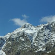
On clear days the Matterhorn reflects almost perfectly in the glass-like water surface of the lake, making it a favorite photography spot. This near-perfect mirror effect comes from the water's purity and the lake's special position.

The community of curious travelers

AroundUs brings together thousands of curated places, local tips, and hidden gems, enriched daily by 60,000 contributors worldwide.

Start exploring
Location
Elevation above the sea
1,980 m
GPS coordinates
45.92268,7.61833
Latest update
January 14, 2026 08:28
Aosta Valley: medieval castles, Roman remains and mountain peaks

The Aosta Valley is in the northwest of Italy, between France and Switzerland. It is surrounded by peaks that are over 4000 meters high. This area mixes the history of Aosta, with its Augustan arch, ancient theater, and old gates, with a network of castles from the medieval period. Fénis Castle...

« Lac Bleu - lake of Aosta Valley » is provided by Around Us (aroundus.com). Images and texts are derived from Wikimedia project under a Creative Commons license. You are allowed to copy, distribute, and modify copies of this page, under the conditions set by the license, as long as this note is clearly visible.

Discover hidden gems everywhere you go!

From secret cafés to breathtaking viewpoints, skip the crowded tourist spots and find places that match your style. Our app makes it easy with voice search, smart filtering, route optimization, and insider tips from travelers worldwide. Download now for the complete mobile experience.

Around Us App Screenshot

A unique approach to discovering new places

Le Figaro

All the places worth exploring

France Info

A tailor-made excursion in just a few clicks

20 Minutes

Around Us
Travel Guide & Maps
Download

Send to your phone

QR Code
1

Open the camera app on your mobile.

2

Point at the QR code with your camera. A notification will appear.

3

Tap the notification to open the link.