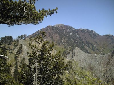
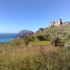
Montea, Mountain peak in Appennino Lucano, Italy
Montea is a mountain peak in the southern Apennines rising to 1825 meters (5,938 feet) between Basilicata and Calabria regions. The summit sits within the Pollino National Park territory and is reached by multiple established hiking routes.
Montea was shaped during the Alpine orogeny, a period of intense tectonic movements that built the entire Apennine range. These geological processes millions of years ago created the mountain chains visible today in the southern landscape.
The mountain regions around Montea preserve ancient pastoral traditions, with livestock moving seasonally between valleys and high pastures. This way of life shapes the landscape and the daily work of mountain residents even today.
Reaching Montea requires hiking experience on mountain terrain and proper equipment for changing weather conditions. Starting early in the day is advisable, and checking trail conditions before departure helps ensure a safe climb.
The mountain feeds natural springs that supply two separate watersheds, nourishing river systems on opposite sides of Italy's southern coast. This hydrological feature makes Montea an important divide point between two seas.
The community of curious travelers
AroundUs brings together thousands of curated places, local tips, and hidden gems, enriched daily by 60,000 contributors worldwide.