
Aree palustri di Melere - Monte Gal e boschi di Col d'Ongia
Aree palustri di Melere - Monte Gal e boschi di Col d'Ongia, protected area
Location: Province of Belluno
Part of: Natura 2000
GPS coordinates: 46.04694,12.21528
Latest update: March 16, 2025 18:21
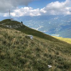
Nevegal
7.7 km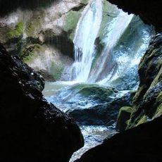
Grotta del Caglieron
9.8 km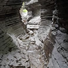
Brent de l'Art
5.4 km
Col Visentin
5.3 km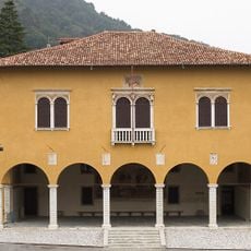
Museo della Battaglia di Vittorio Veneto
9.8 km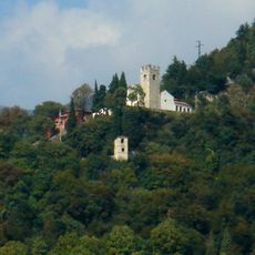
Santuario di Santa Augusta
7.7 km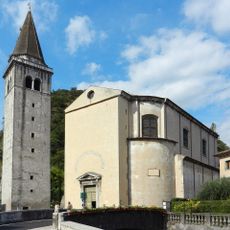
Church of the Nativity of the Holy Virgin Mary
7.9 km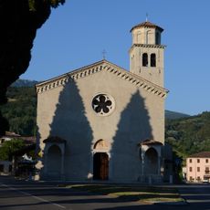
Sant'Andrea's church
8.5 km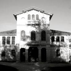
Villa Papadopoli
9.7 km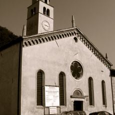
San Giovanni Battista
7.5 km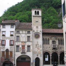
Museo del Cenedese
7.8 km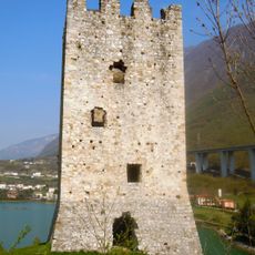
Torre di San Floriano
6.9 km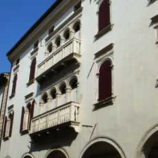
Palazzo Sarcinelli
8 km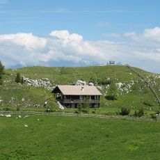
Giardino Botanico delle Alpi Orientali
7.7 km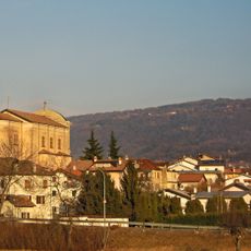
Chiesa di Santa Giustina
6.5 km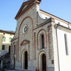
Chiesa di San Matteo Apostolo
6 km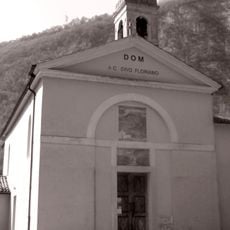
San Floriano's church
6.9 km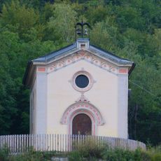
San Gottardo's church
9 km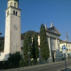
Purificazione della Beata Vergine Maria
8.4 km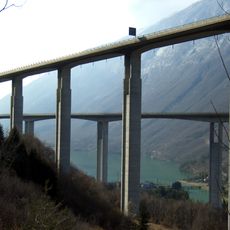
Fadalto Viaduct
9.1 km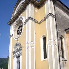
San Giorgio Martire
6.7 km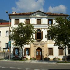
Villa Vicentini Breda Beretta
8.5 km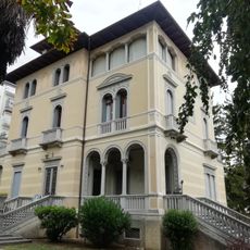
Galleria civica d'arte medievale, moderna e contemporanea
9.2 km
Giardino Museo Bonsai della Serenità
8.4 km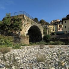
Ponte Vecchio
9.7 km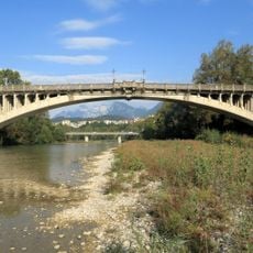
Ponte della Vittoria
9.7 km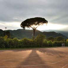
Pinus pinea L.
9.7 km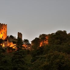
Castello di San Martino
9.5 kmReviews
Visited this place? Tap the stars to rate it and share your experience / photos with the community! Try now! You can cancel it anytime.
Discover hidden gems everywhere you go!
From secret cafés to breathtaking viewpoints, skip the crowded tourist spots and find places that match your style. Our app makes it easy with voice search, smart filtering, route optimization, and insider tips from travelers worldwide. Download now for the complete mobile experience.

A unique approach to discovering new places❞
— Le Figaro
All the places worth exploring❞
— France Info
A tailor-made excursion in just a few clicks❞
— 20 Minutes