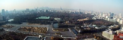
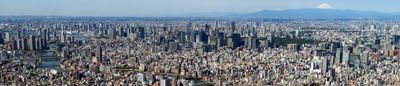
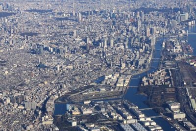
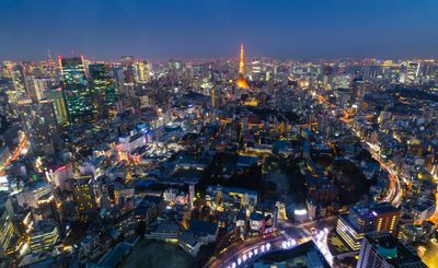
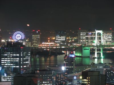
Ward area of Tokyo, Administrative region in Tokyo, Japan
This administrative region includes 23 special wards within Tokyo, covering roughly 627 square kilometers (242 square miles) and housing about 15,735 residents per square kilometer (40,753 per square mile). Each ward operates as a separate administrative unit with its own offices, services, and local authorities, forming together the central urban core of the metropolis.
In 1943, a major administrative reform transformed the former Tokyo City into the current system of 23 separate wards. This reorganization took place during World War II to simplify governance and improve coordination between different parts of the city.
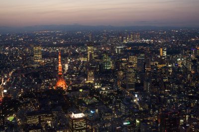
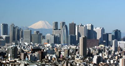
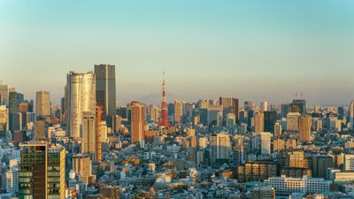
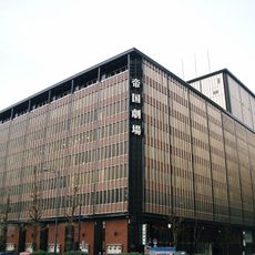
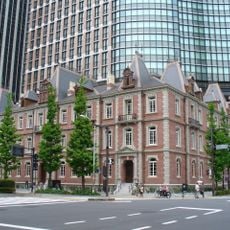
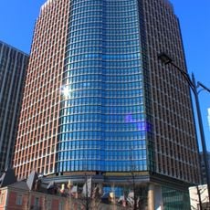
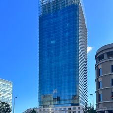
Each district maintains its own identity, from luxury shops in Ginza to temples in Asakusa and electronics stores in Akihabara, reflecting different sides of Japanese society. Visitors encounter daily contrasts between traditional neighborhoods with wooden houses and modern areas with skyscrapers, while locals move freely between these worlds.
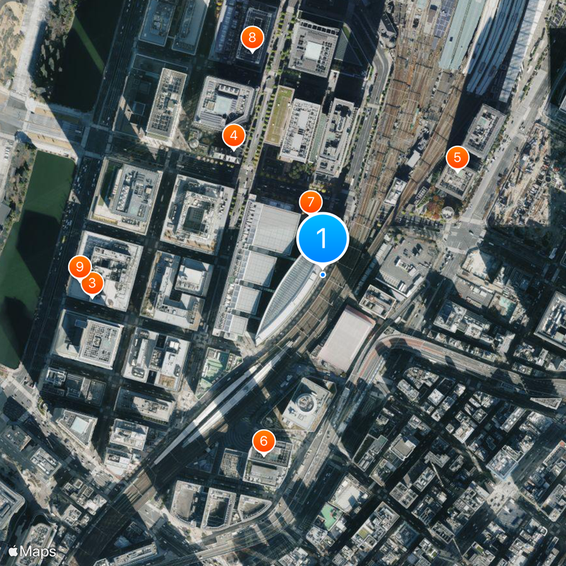
The 23 wards are linked by a dense network of trains, subways, and buses connecting residential areas with business districts and entertainment centers. Visitors should use a rechargeable transit card to move between different wards, as distances are often greater than they appear on maps.
Each of the 23 wards holds special legal powers that make it function like an independent city, while remaining part of the Tokyo Metropolitan Government. This dual nature means residents access both ward-level and overarching city services, a setup that does not exist in other major Japanese cities.
The community of curious travelers
AroundUs brings together thousands of curated places, local tips, and hidden gems, enriched daily by 60,000 contributors worldwide.