
Nishiaizu, town in Yama district, Fukushima prefecture, Japan
Location: Fukushima Prefecture
Location: Yama district
Inception: July 1, 1954
Website: https://www.town.nishiaizu.fukushima.jp/
Shares border with: Kitakata, Yanaizu, Aizubange, Kaneyama, Aga
Website: https://town.nishiaizu.fukushima.jp
GPS coordinates: 37.58750,139.64897
Latest update: March 3, 2025 01:38
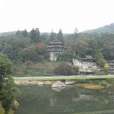
円蔵寺
9 km
No. 1 Tadamigawa Bridge
11.6 km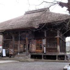
恵隆寺
13.3 km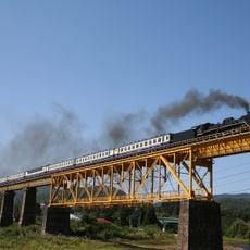
Ichinotogawa Bridge
12.8 km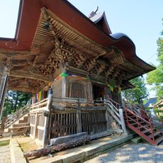
如法寺
1.5 km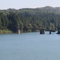
舊柴崎橋
4.7 km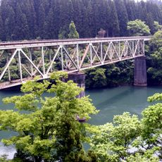
No. 2 Tadamigawa Bridge
12.1 km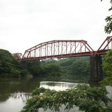
釜之脇橋梁
5.5 km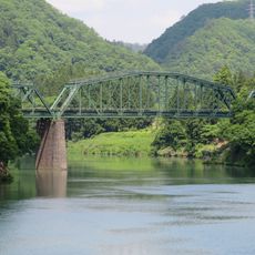
阿賀野川德澤橋樑
9.9 km
大谷川橋梁 (只見線)
12.8 km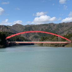
船渡大橋
12.5 km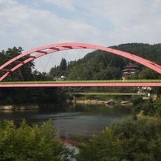
柳津橋
8.8 km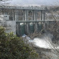
Katakado Dam
10.3 km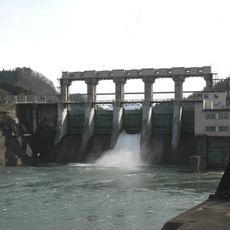
Yanaizu Dam
9.2 km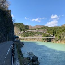
新渡大橋
10.3 km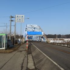
藤大橋
9.9 km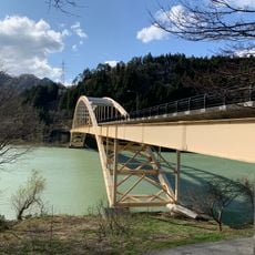
菱潟大橋
13.7 km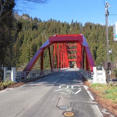
三島大橋
12.4 km
只見川橋
10.5 km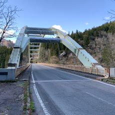
徳石大橋
11.6 km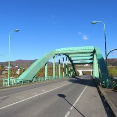
山都橋
11.5 km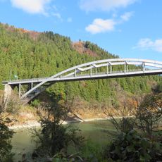
高清水橋
13.1 km
西羽賀橋
9.8 km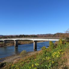
片門橋
10.4 km
麻生大橋
9.7 km
峯橋
7 km
滝谷川橋
9.9 km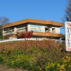
カイギュウランドたかさと
9.5 kmReviews
Visited this place? Tap the stars to rate it and share your experience / photos with the community! Try now! You can cancel it anytime.
Discover hidden gems everywhere you go!
From secret cafés to breathtaking viewpoints, skip the crowded tourist spots and find places that match your style. Our app makes it easy with voice search, smart filtering, route optimization, and insider tips from travelers worldwide. Download now for the complete mobile experience.

A unique approach to discovering new places❞
— Le Figaro
All the places worth exploring❞
— France Info
A tailor-made excursion in just a few clicks❞
— 20 Minutes