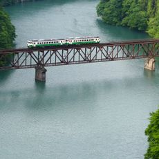
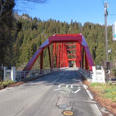
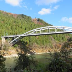
No. 2 Tadamigawa Bridge, Railway bridge in Mishima Town, Japan.
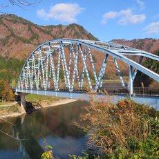
No. 2 Tadamigawa Bridge is a railway bridge that spans about 190 meters across the Tadami River. It features a steel truss structure with its highest point around 65 meters and carries trains on the JR Tadami Line.
The bridge was completed in 1941 and demonstrates the engineering skills of Japanese railway construction during the early Showa period. Its Warren truss design was an important part of Japan's modern railway development at that time.
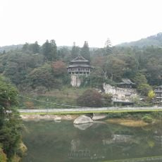
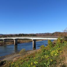
The bridge serves the JR Tadami Line, linking communities across the river. It has become a popular spot where people observe how the landscape changes with the seasons.
The viewing area is about a 15-minute walk from Aizu-Miyashita Station. You will need to cross Mishima Bridge to reach the observation point.
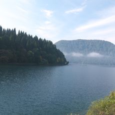
Morning mists rise from the Tadami River and create changing visual views of the bridge depending on when you visit. This effect is especially notable during spring and early summer months.
The community of curious travelers
AroundUs brings together thousands of curated places, local tips, and hidden gems, enriched daily by 60,000 contributors worldwide.