砂子原カルデラ, Volcanic caldera in Niigata, Japan
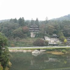
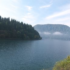
The Sunagohara Caldera is a volcanic depression in Niigata's mountainous region, formed when a volcano's summit collapsed inward. The circular structure spans several kilometers and creates a clearly visible depression in the landscape.
The caldera formed thousands of years ago through a series of volcanic eruptions that caused the mountain summit to collapse into an underlying empty magma chamber. These events shaped the region's geological structure.
Local residents maintain detailed records of volcanic activity through generations, contributing to scientific understanding of geological patterns in the region.
Access to the caldera is best during warmer months when mountain trails are free from snow and ice. Visitors should bring proper footwear and warm clothing as the higher elevation brings cooler temperatures.
The caldera displays distinct layers of volcanic deposits revealing multiple eruption cycles, helping scientists determine how frequently the volcano was active in the past. These geological records offer rare insights into the volcano's long-term activity spanning thousands of years.
The community of curious travelers
AroundUs brings together thousands of curated places, local tips, and hidden gems, enriched daily by 60,000 contributors worldwide.