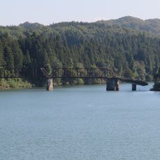
第四只見川橋梁, Railway crossing in Niigata Prefecture, Japan
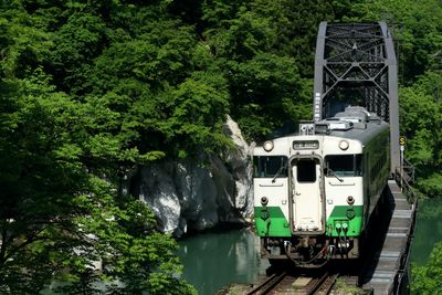
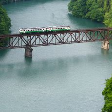
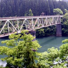
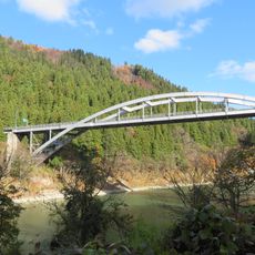
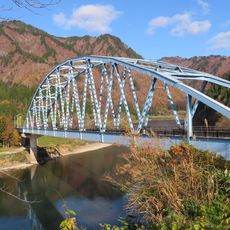
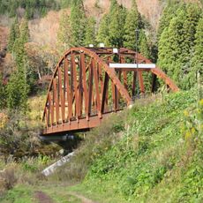
The Fourth Shimo River Bridge spans the Tadami River with a steel truss structure that carries trains through mountainous terrain. The framework consists of diagonal beams forming a distinctive lattice pattern that supports the railway across the valley.
Completed in 1932, this bridge established essential railway connections in the Niigata region. It remains a vital transportation link that has served the area for over a century.
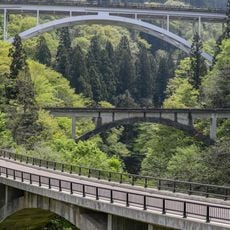
Photographers gather at designated viewing points throughout the year to capture trains crossing the bridge against changing mountain landscapes with the seasons.
You can view the bridge from several observation platforms, with parking available near the main photography spots. The best time to visit is on clear days when trains run regularly and visibility is good for photography.
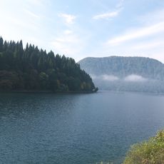
Dense fog often surrounds the bridge in autumn months, making the structure appear to float above the valley below. This weather phenomenon creates conditions that make photography particularly striking and gives the steel framework an almost ethereal quality.
The community of curious travelers
AroundUs brings together thousands of curated places, local tips, and hidden gems, enriched daily by 60,000 contributors worldwide.