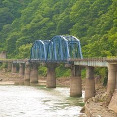
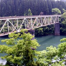
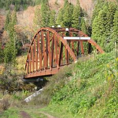
第六只見川橋樑, Railroad bridge in Fukushima Prefecture, Japan
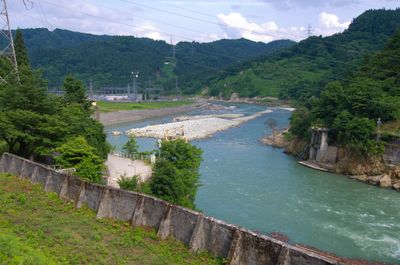
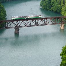
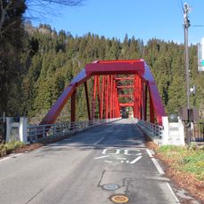
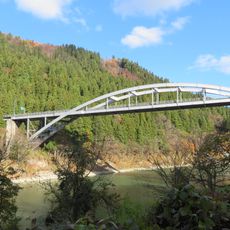
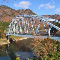
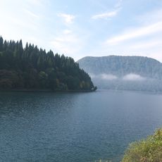
The Dairokukyō Bridge is a railroad structure crossing the Tadami River Valley between two mountains. Trains pass through it daily as part of the local rail network serving the mountainous Fukushima region.
The structure was completed in 1971 as part of a railway project to improve connections in the rural mountainous region. It enabled better access to remote communities in the area.
Local photographers gather at designated viewing spots during winter months to capture images of trains crossing through morning fog and snow.
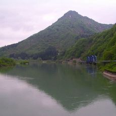
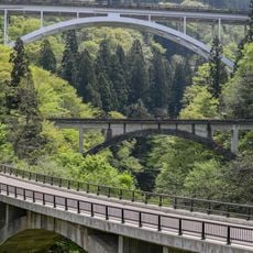
The bridge can be viewed from designated spots reachable by walking paths in the area. Weather conditions vary with the seasons, affecting visibility and access to viewing areas.
Trains crossing the bridge often emerge dramatically from morning fog in cold months, creating a striking visual moment. Many photographers travel specifically to capture this fleeting effect when conditions align.
The community of curious travelers
AroundUs brings together thousands of curated places, local tips, and hidden gems, enriched daily by 60,000 contributors worldwide.