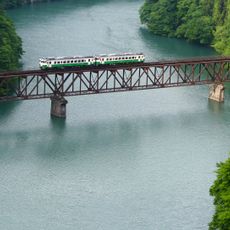
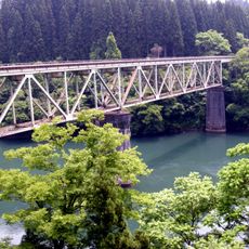
第七只見川橋梁, Steel truss bridge in Kaneyama, Japan
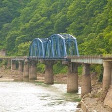
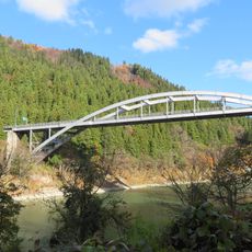
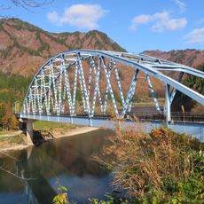
The Seventh Tadami River Bridge is a steel truss structure that once crossed the river in Kaneyama with a substantial span. The design employed a Warren truss system commonly used for railway bridges of that period.
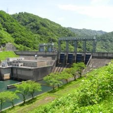
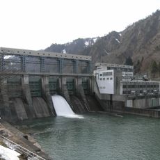
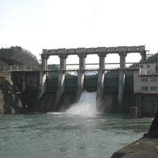
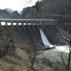
Built in 1957, it transported materials for a major hydroelectric power project in the region. Decades of service ended when the 2011 floods caused severe damage that led to its removal.
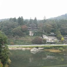
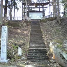
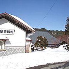
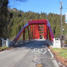
The bridge represented the engineering capabilities of post-war Japan and became part of the local infrastructure connecting different communities in Fukushima Prefecture.
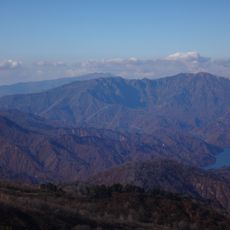
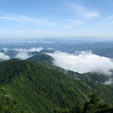
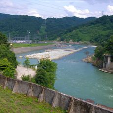
Visiting the site requires some planning since the bridge structure no longer exists and only remnants can be seen. The area offers good vantage points to view the river valley and surrounding mountains.
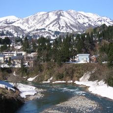
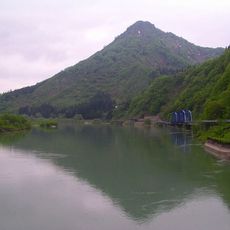
The bridge location at coordinates 37.389722, 139.423583 offers views of the surrounding Tadami River and mountain landscapes in all seasons.
The community of curious travelers
AroundUs brings together thousands of curated places, local tips, and hidden gems, enriched daily by 60,000 contributors worldwide.