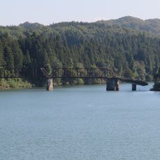
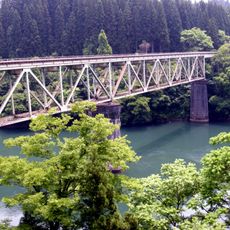
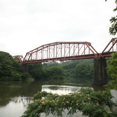
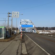
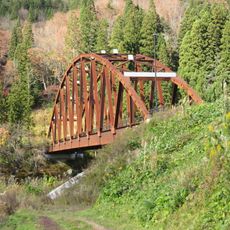
No. 3 Tadamigawa Bridge, Railway bridge in Mishima, Japan
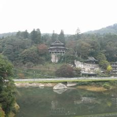
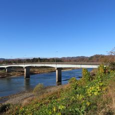
No. 3 Tadamigawa Bridge crosses the Tadami River within a snow shelter located along National Highway 252 in Fukushima Prefecture. The structure protects both trains and road traffic from heavy snowfall during the winter months.
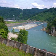
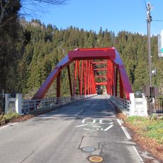
The bridge was built as part of the Tadami railway line, which was gradually developed between 1928 and 1971 to connect different sections across Fukushima Prefecture. This rail connection was necessary to bring modern transportation to isolated mountainous areas.
The bridge is part of the JR Tadami Line and connects remote communities scattered across the mountains. It enables daily travel for people who live in this sparsely populated region.
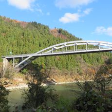
The bridge can be reached on foot from Aizu Miyashita Station or by car from the Aizubange Interchange. Visitors should bring warm clothing as the region receives heavy snow during winter.
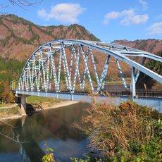
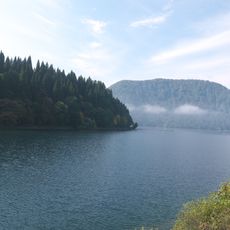
In early winter mornings, light streams through the snow shelter openings create shifting patterns across the snow-covered landscape below. This natural phenomenon is particularly appealing to photographers seeking to capture the interplay between snow and sunlight.
The community of curious travelers
AroundUs brings together thousands of curated places, local tips, and hidden gems, enriched daily by 60,000 contributors worldwide.